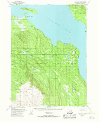
1951 Map of Kenai A-3
USGS Topo · Published 1971About this map
Tustumena Lake dominates the northern half of this mid-century survey, a sprawling water body defining the wilderness character of the western Kenai Peninsula. Within the protected boundaries of the Kenai National Moose Range, the landscape is a dense network of water systems, including the complex drainage of Nikolai Creek and the meandering path of Crooked Creek.
Find a feature on this map
19 named features on this map. Tap any name to fly to it.
Don’t see what you’re looking for? This feature index may not catch every label — zoom into the map to look around manually.
Map Details
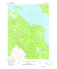
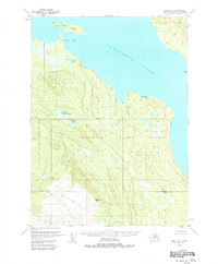
Editions of this 1951 Kenai A-3 Map
4 editions found
Other maps of this area

1944 · Kenai
USGS Topo · 1:250,000

1949 · Seldovia D-4
USGS Topo · 1:63,360

1950 · Kenai
USGS Topo · 1:250,000

1950 · Seldovia D-2
USGS Topo · 1:63,360

1950 · Kenai B-3
USGS Topo · 1:63,360

1951 · Seldovia D-4
USGS Topo · 1:63,360

1951 · Seldovia
USGS Topo · 1:250,000

1951 · Seldovia D-3
USGS Topo · 1:63,360

1951 · Kenai B-2
USGS Topo · 1:63,360

1951 · Kenai A-3
USGS Topo · 1:63,360