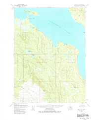
1951 Map of Kenai A-3
USGS Topo · Published 1984About this map
Tustumena Lake dominates this portion of the Kenai Peninsula, marking a landscape defined by glacial waters and protected wildlife habitats within the Kenai National Moose Range. The topography here reflects the transition from the lake's shoreline to the upland drainages of the Seward Base Line. Settlement is nearly non-existent, indicated only by scattered cabins along the water's edge and near Bear Creek.
Find a feature on this map
18 named features on this map. Tap any name to fly to it.
Don’t see what you’re looking for? This feature index may not catch every label — zoom into the map to look around manually.
Map Details
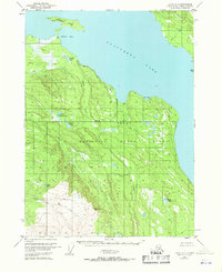
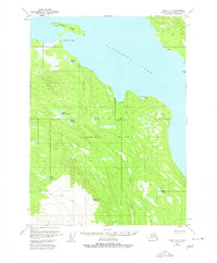
Editions of this 1951 Kenai A-3 Map
4 editions found
Other maps of this area

1944 · Kenai
USGS Topo · 1:250,000

1949 · Seldovia D-4
USGS Topo · 1:63,360

1950 · Kenai
USGS Topo · 1:250,000

1950 · Seldovia D-2
USGS Topo · 1:63,360

1950 · Kenai B-3
USGS Topo · 1:63,360

1951 · Seldovia D-4
USGS Topo · 1:63,360

1951 · Seldovia
USGS Topo · 1:250,000

1951 · Seldovia D-3
USGS Topo · 1:63,360

1951 · Kenai B-2
USGS Topo · 1:63,360

1951 · Kenai A-3
USGS Topo · 1:63,360