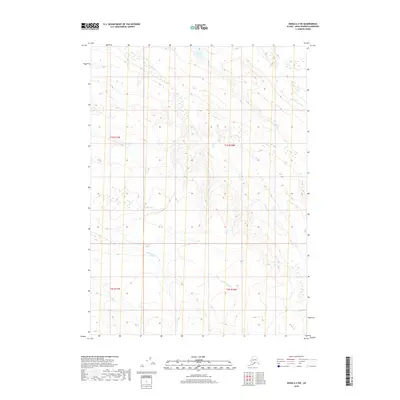
2018 Map of Kenai A-3 SW
USGS Topo · Published 2018About this map
Kolomin Lake and Trophy Lake anchor this 2018 survey of the Kenai Peninsula’s interior highlands. The landscape is defined by its complex drainage network, where the headwaters of Crooked Cr and Nikolai Cr flow through an uninhabited terrain of glacial origin. This map provides a clear picture of the hydrological divide between these northern drainages and the southern reaches of N-Fork Deep Cr. The presence of established township and range lines, including t1s r10w and t2s r11w, highlights the systematic surveying of this wilderness. Researchers of the region will find the precise contour work valuable for understanding the relief and seasonal wetlands that characterize this part of the borough.
Find a feature on this map
10 named features on this map. Tap any name to fly to it.
Don’t see what you’re looking for? This feature index may not catch every label — zoom into the map to look around manually.
Map Details
Editions of this 2018 Kenai A-3 SW Map
This is the sole edition of this map. No revisions or reprints were ever made.
Other maps of this area

1944 · Kenai
USGS Topo · 1:250,000

1949 · Seldovia D-4
USGS Topo · 1:63,360

1950 · Kenai
USGS Topo · 1:250,000

1951 · Seldovia D-4
USGS Topo · 1:63,360

1951 · Seldovia
USGS Topo · 1:250,000

1951 · Seldovia D-3
USGS Topo · 1:63,360

1951 · Kenai A-3
USGS Topo · 1:63,360

1951 · Kenai A-4
USGS Topo · 1:63,360

1952 · Kenai A-3
USGS Topo · 1:63,360

1952 · Kenai A-4
USGS Topo · 1:63,360