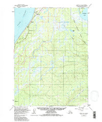
1951 Map of Kenai A-4
USGS Topo · Published 1980About this map
The coastal bluffs of the Cook Inlet and the dense interior wetlands of the Kenai National Moose Range define this landscape during the early 1950s. The Sterling Highway serves as the primary artery along the shoreline, providing access to the small settlement at Clam Gulch and a nearby Campground. Inland, the terrain is dominated by a complex network of waterways, including the winding Ninilchik River and Crooked Creek.
Find a feature on this map
19 named features on this map. Tap any name to fly to it.
Don’t see what you’re looking for? This feature index may not catch every label — zoom into the map to look around manually.
Map Details
Editions of this 1951 Kenai A-4 Map
2 editions found

Other maps of this area

1944 · Kenai
USGS Topo · 1:250,000

1946 · Seldovia D-5
USGS Topo · 1:63,360

1949 · Seldovia D-4
USGS Topo · 1:63,360

1950 · Kenai
USGS Topo · 1:250,000

1950 · Kenai B-3
USGS Topo · 1:63,360

1951 · Seldovia D-5
USGS Topo · 1:63,360

1951 · Seldovia D-4
USGS Topo · 1:63,360

1951 · Seldovia
USGS Topo · 1:250,000

1951 · Seldovia D-3
USGS Topo · 1:63,360

1951 · Kenai A-5
USGS Topo · 1:63,360