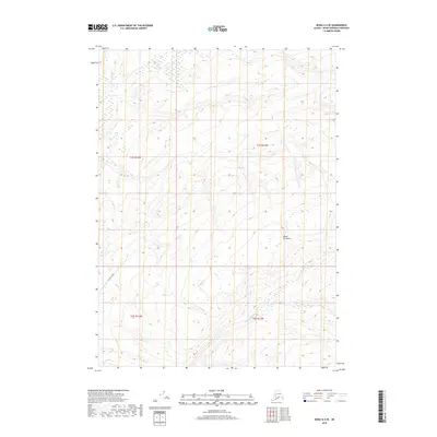
2018 Map of Kenai A-4 SE
USGS Topo · Published 2018About this map
The Kenai Peninsula highlands are defined by intricate drainage patterns and rising terrain in this 2018 topographic survey. The landscape is dominated by the N Fork Deep Cr, which meanders through the southeastern portion of the quadrangle, carving through a series of ridges and valleys. While largely undeveloped, the presence of Oil Well Road in the southwest corner indicates the industrial activity and resource extraction infrastructure common in this region of Alaska. The map provides a detailed view of the township and range divisions, including t1s r12w, t1s r11w, t2s r12w, and t2s r11w, illustrating the transition from lowland access points to more elevated interior terrain. This specific geography highlights the balance between utility corridors and the natural hydrography of the peninsula's wilderness.
Find a feature on this map
7 named features on this map. Tap any name to fly to it.
Don’t see what you’re looking for? This feature index may not catch every label — zoom into the map to look around manually.
Map Details
Editions of this 2018 Kenai A-4 SE Map
This is the sole edition of this map. No revisions or reprints were ever made.
Other maps of this area

1944 · Kenai
USGS Topo · 1:250,000

1949 · Seldovia D-4
USGS Topo · 1:63,360

1950 · Kenai
USGS Topo · 1:250,000

1951 · Seldovia D-4
USGS Topo · 1:63,360

1951 · Seldovia
USGS Topo · 1:250,000

1951 · Seldovia D-3
USGS Topo · 1:63,360

1951 · Kenai A-3
USGS Topo · 1:63,360

1951 · Kenai A-4
USGS Topo · 1:63,360

1952 · Kenai A-3
USGS Topo · 1:63,360

1952 · Kenai A-4
USGS Topo · 1:63,360