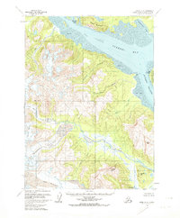
1958 Map of Kenai A-8
USGS Topo · Published 1974About this map
Tuxedni Bay and the surrounding coastal wilderness of the Kenai Peninsula are defined by a landscape of massive ice fields and tidal transitions. In the late 1950s, this area remained largely untouched by development, dominated instead by the Lateral Glacier and Red Glacier which carve through the high terrain. The coastal margin features significant tidal flats and the protected lands of the Chisik Island Tuxedni National Wildlife Refuge. The map provides a look at the natural drainage patterns of the Johnson River and its connection to the Silver Salmon Lakes. Inland, the terrain rises sharply to prominent peaks such as Rusty Mountain and Triangle Peak, while the shoreline is marked by distinctive landmarks like Fossil Pt and Chisik Island standing within the Tuxedni Channel.
Find a feature on this map
23 named features on this map. Tap any name to fly to it.
Don’t see what you’re looking for? This feature index may not catch every label — zoom into the map to look around manually.
Map Details
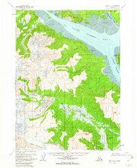
Editions of this 1958 Kenai A-8 Map
2 editions found
Other maps of this area

1944 · Kenai
USGS Topo · 1:250,000

1946 · Lake Clark
USGS Topo · 1:250,000

1950 · Kenai
USGS Topo · 1:250,000

1951 · Lake Clark
USGS Topo · 1:250,000

1951 · Seldovia
USGS Topo · 1:250,000

1952 · Iliamna
USGS Topo · 1:250,000

1957 · Iliamna
USGS Topo · 1:250,000

1958 · Iliamna D-1
USGS Topo · 1:63,360
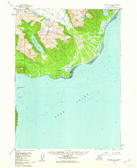
1958 · Seldovia D-8
USGS Topo · 1:63,360

1958 · Lake Clark A-1
USGS Topo · 1:63,360