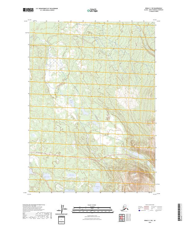
2024 Map of Kenai C-1 SW
USGS Topo · Published 2024About this map
Glacial terrain and lacustrine systems dominate this portion of the Kenai National Wildlife Refuge on the Kenai Peninsula. The landscape is defined by a dense network of water bodies, ranging from the sizeable Hidden Lake and Hikers Lake in the south to the smaller Browse Lake and Picnic Lake further north. These waters are linked by the winding courses of the Moose River and Mystery Creek, reflecting the complex drainage patterns characteristic of this subarctic wilderness.
Find a feature on this map
19 named features on this map. Tap any name to fly to it.
Don’t see what you’re looking for? This feature index may not catch every label — zoom into the map to look around manually.
Map Details
Editions of this 2024 Kenai C-1 SW Map
This is the sole edition of this map. No revisions or reprints were ever made.
Other maps of this area

1944 · Kenai
USGS Topo · 1:250,000

1950 · Kenai
USGS Topo · 1:250,000

1950 · Kenai B-1
USGS Topo · 1:63,360

1951 · Kenai B-2
USGS Topo · 1:63,360

1951 · Kenai C-1
USGS Topo · 1:63,360

1951 · Kenai C-2
USGS Topo · 1:63,360

1952 · Kenai C-1
USGS Topo · 1:63,360

1952 · Kenai C-2
USGS Topo · 1:63,360

1952 · Kenai B-2
USGS Topo · 1:63,360

1952 · Kenai B-1
USGS Topo · 1:63,360