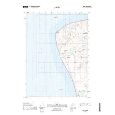
2018 Map of Kenai C-4 NW
USGS Topo · Published 2018About this map
Nikishka and Port Nikiski dominate this coastal survey along the eastern shores of the Cook Inlet. The landscape is a complex network of small lakes and residential developments, with communities like East Foreland situated near the prominent western protrusion of the peninsula. The infrastructure reflects a mix of industrial activity and local aviation, centered around Johnson Airport and the heavy concentration of roads like Miller Loop Road and Industrial Avenue.
Find a feature on this map
57 named features on this map. Tap any name to fly to it.
Don’t see what you’re looking for? This feature index may not catch every label — zoom into the map to look around manually.
Map Details
Editions of this 2018 Kenai C-4 NW Map
This is the sole edition of this map. No revisions or reprints were ever made.
Other maps of this area

1944 · Kenai
USGS Topo · 1:250,000

1950 · Kenai
USGS Topo · 1:250,000

1950 · Kenai D-4
USGS Topo · 1:63,360

1951 · Kenai C-4
USGS Topo · 1:63,360

1952 · Kenai D-4
USGS Topo · 1:63,360

1952 · Kenai C-4
USGS Topo · 1:63,360

1958 · Kenai C-5
USGS Topo · 1:63,360

1958 · Kenai D-5
USGS Topo · 1:63,360

1958 · Kenai
USGS Topo · 1:250,000
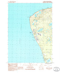
1986 · Kenai C-4 NW
USGS Topo · 1:25,000