
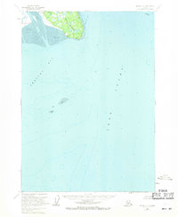
1958 Map of Kenai C-5
USGS Topo · Published 1963About this map
The waters of Cook Inlet dominate this coastal survey, where the massive Trading Bay and Redoubt Bay meet the shoreline of the Kenai Peninsula. On the western shore, the small settlement of Kustatan sits near the mouth of the Kustatan River, a landscape defined by extensive Tidal Flats and marshy lowlands. This mid-century record shows the area prior to heavy industrialization, focusing instead on the natural navigational hazards and shoreline features like Knutruin Rock and the prominent West Forland point.
Find a feature on this map
11 named features on this map. Tap any name to fly to it.
Don’t see what you’re looking for? This feature index may not catch every label — zoom into the map to look around manually.
Map Details
Editions of this 1958 Kenai C-5 Map
2 editions found
Other maps of this area

1944 · Kenai
USGS Topo · 1:250,000

1950 · Kenai
USGS Topo · 1:250,000

1950 · Kenai D-4
USGS Topo · 1:63,360

1951 · Kenai C-4
USGS Topo · 1:63,360

1951 · Kenai B-4
USGS Topo · 1:63,360

1952 · Kenai D-4
USGS Topo · 1:63,360

1952 · Kenai C-4
USGS Topo · 1:63,360

1952 · Kenai B-4
USGS Topo · 1:63,360

1958 · Kenai D-5
USGS Topo · 1:63,360

1958 · Kenai C-6
USGS Topo · 1:63,360