
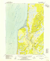
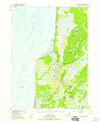
1952 Map of Kenai B-4
USGS Topo · Published 1954About this map
Kasilof and the neighboring settlements of Cohoe and Kalifonsky sit at the edge of Cook Inlet, representing a mid-century Alaska coastal landscape defined by river access and early aviation. The newly constructed Sterling Highway cuts through the region, connecting the small homesteads and scattered Cabins that dot the riverbanks. To the east, the Kenai National Moose Range preserves a vast wetland and forest interior, where the Kasilof River winds through distinctive geographic features like Hongkong Bend and Moosehead Rapids.
Find a feature on this map
24 named features on this map. Tap any name to fly to it.
Don’t see what you’re looking for? This feature index may not catch every label — zoom into the map to look around manually.
Map Details
Editions of this 1952 Kenai B-4 Map
3 editions found
Other maps of this area

1944 · Kenai
USGS Topo · 1:250,000

1950 · Kenai
USGS Topo · 1:250,000

1950 · Kenai C-3
USGS Topo · 1:63,360

1950 · Kenai B-3
USGS Topo · 1:63,360

1951 · Kenai A-5
USGS Topo · 1:63,360

1951 · Kenai A-3
USGS Topo · 1:63,360

1951 · Kenai C-4
USGS Topo · 1:63,360

1951 · Kenai C-3
USGS Topo · 1:63,360

1951 · Kenai B-4
USGS Topo · 1:63,360

1951 · Kenai A-4
USGS Topo · 1:63,360