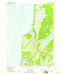
1952 Map of Kenai B-4
USGS Topo · Published 1959About this map
The mouth of the Kasilof River serves as the focal point for this 1950s-era coastal survey of the Kenai Peninsula. The settlement of Kasilof sits near the river's entry into Cook Inlet, marked by US Sur No 83 and the Kasilof Landing Strip. Just south across the river, the small community of Cohoe is established along the early network of unimproved dirt roads and the emerging Sterling Highway.
Find a feature on this map
30 named features on this map. Tap any name to fly to it.
Don’t see what you’re looking for? This feature index may not catch every label — zoom into the map to look around manually.
Map Details
Editions of this 1952 Kenai B-4 Map
3 editions found

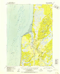
Other maps of this area

1944 · Kenai
USGS Topo · 1:250,000

1950 · Kenai
USGS Topo · 1:250,000

1950 · Kenai C-3
USGS Topo · 1:63,360

1950 · Kenai B-3
USGS Topo · 1:63,360

1951 · Kenai A-5
USGS Topo · 1:63,360

1951 · Kenai A-3
USGS Topo · 1:63,360

1951 · Kenai C-4
USGS Topo · 1:63,360

1951 · Kenai C-3
USGS Topo · 1:63,360

1951 · Kenai B-4
USGS Topo · 1:63,360

1951 · Kenai A-4
USGS Topo · 1:63,360