
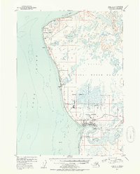
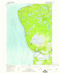
1952 Map of Kenai C-4
USGS Topo · Published 1954About this map
Kenai sits at the mouth of the Kenai River in the early 1950s, serving as a hub for the coastal aviation and maritime industries of the peninsula. The settlement pattern along Cook Inlet reveals a landscape in transition, with Salamato (Aband) noted north of the town center, while newer infrastructure like the Kenai Airport and a Radio Range Station mark the era's technological expansion. To the north, the East Foreland Lighthouse Reserve and various military reservations suggest the strategic importance of the inlet during the early Cold War years.
Find a feature on this map
31 named features on this map. Tap any name to fly to it.
Don’t see what you’re looking for? This feature index may not catch every label — zoom into the map to look around manually.
Map Details
Editions of this 1952 Kenai C-4 Map
3 editions found
Other maps of this area

1944 · Kenai
USGS Topo · 1:250,000

1950 · Kenai
USGS Topo · 1:250,000

1950 · Kenai C-3
USGS Topo · 1:63,360

1950 · Kenai B-3
USGS Topo · 1:63,360

1950 · Kenai D-4
USGS Topo · 1:63,360

1951 · Kenai D-3
USGS Topo · 1:63,360

1951 · Kenai C-4
USGS Topo · 1:63,360

1951 · Kenai C-3
USGS Topo · 1:63,360

1951 · Kenai B-4
USGS Topo · 1:63,360

1952 · Kenai D-3
USGS Topo · 1:63,360