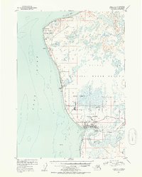
1952 Map of Kenai C-4
USGS Topo · Published 1954About this map
Kenai sits at the mouth of the Kenai River on the Cook Inlet, serving as a hub for aviation and industry in the early 1950s. The landscape is defined by the proximity of the Kenai National Moose Range and the extensive Military Reservation lands north of the town. This era shows the coastal infrastructure supporting the region, including the Kenai Airport, a Radio Tower, and several Storage Tanks near the Sawmill. Along the coast, the transition of the fishing economy is evident near Salamato, which is labeled as abandoned, and the nearby abandoned cannery at the river mouth. Inland, the Kenai Spur Road and Beaver Loop Road provide the primary terrestrial links between scattered settlements like Nikishka No 1 and the remote Cabins at Island Lake.
Find a feature on this map
33 named features on this map. Tap any name to fly to it.
Don’t see what you’re looking for? This feature index may not catch every label — zoom into the map to look around manually.
Map Details
Editions of this 1952 Kenai C-4 Map
3 editions found

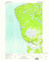
Other maps of this area

1944 · Kenai
USGS Topo · 1:250,000

1950 · Kenai
USGS Topo · 1:250,000

1950 · Kenai C-3
USGS Topo · 1:63,360

1950 · Kenai B-3
USGS Topo · 1:63,360

1950 · Kenai D-4
USGS Topo · 1:63,360

1951 · Kenai D-3
USGS Topo · 1:63,360

1951 · Kenai C-4
USGS Topo · 1:63,360

1951 · Kenai C-3
USGS Topo · 1:63,360

1951 · Kenai B-4
USGS Topo · 1:63,360

1952 · Kenai D-3
USGS Topo · 1:63,360