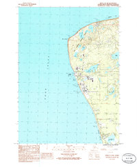
1986 Map of Kenai C-4 NW
USGS Topo · Published 1986About this map
East Foreland Lighthouse stands as a primary navigational aid on the western shore of the peninsula, marking the transition from the open waters of Cook Inlet into Nikiski Bay. This mid-1980s landscape reveals a region defined by industrial infrastructure and emerging coastal development. The area around Port Nikiski is heavily marked by energy and utility assets, including a complex network of a Pipeline and Transmission Line that cut across the inland terrain.
Find a feature on this map
21 named features on this map. Tap any name to fly to it.
Don’t see what you’re looking for? This feature index may not catch every label — zoom into the map to look around manually.
Map Details
Editions of this 1986 Kenai C-4 NW Map
This is the sole edition of this map. No revisions or reprints were ever made.
Other maps of this area

1944 · Kenai
USGS Topo · 1:250,000

1950 · Kenai
USGS Topo · 1:250,000

1950 · Kenai D-4
USGS Topo · 1:63,360

1951 · Kenai C-4
USGS Topo · 1:63,360

1952 · Kenai D-4
USGS Topo · 1:63,360

1952 · Kenai C-4
USGS Topo · 1:63,360

1958 · Kenai C-5
USGS Topo · 1:63,360

1958 · Kenai D-5
USGS Topo · 1:63,360

1958 · Kenai
USGS Topo · 1:250,000
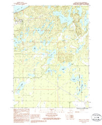
1986 · Kenai C-4 NE
USGS Topo · 1:25,000