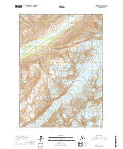
2017 Map of Kenai C-8 NW
USGS Topo · Published 2017About this map
Lake Clark National Park encompasses the entirety of this interior Alaskan wilderness, where the high peaks of the Chigmit Mountains descend toward glacial river valleys. The landscape is dominated by the Double Glacier, which feeds glacial meltwater into complex drainage patterns typical of the region's high-latitude environment. Flowing through the northern reaches, the Tlikakila River meanders across a broad valley floor, creating a network of wetlands and braided channels as it moves between towering ridgelines. The absence of roads or permanent settlements highlights the protected and undisturbed nature of this territory in 2017, where the only markings are the township and range lines of the Public Land Survey System, such as t7n r21w. This map serves as a primary record of the terrain and hydrologic features within the park's boundaries at the start of the 21st century.
Find a feature on this map
10 named features on this map. Tap any name to fly to it.
Don’t see what you’re looking for? This feature index may not catch every label — zoom into the map to look around manually.
Map Details
Editions of this 2017 Kenai C-8 NW Map
This is the sole edition of this map. No revisions or reprints were ever made.
Other maps of this area

1944 · Kenai
USGS Topo · 1:250,000

1946 · Lake Clark
USGS Topo · 1:250,000

1950 · Kenai
USGS Topo · 1:250,000

1951 · Lake Clark
USGS Topo · 1:250,000

1958 · Kenai D-8
USGS Topo · 1:63,360

1958 · Kenai C-8
USGS Topo · 1:63,360
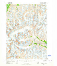
1958 · Lake Clark D-1
USGS Topo · 1:63,360
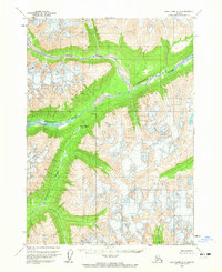
1958 · Lake Clark C-1
USGS Topo · 1:63,360

1958 · Lake Clark
USGS Topo · 1:250,000

1958 · Kenai
USGS Topo · 1:250,000