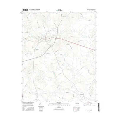
2016 Map of Kenansville
USGS Topo · Published 2016About this map
Kenansville, the county seat of Duplin County, serves as the central hub of this eastern North Carolina landscape. This 2016 survey illustrates the town's modern footprint, anchored by the James Sprunt Community Coll and the nearby Duplin County Airport. The surrounding topography is defined by an intricate network of wetlands and drainage systems typical of the Coastal Plain, including Buckskin Swamp, Tea Swamp, and numerous branches such as Persimmon Br and Mill Br. Rural family heritage is evident in the names of thoroughfares like Jesse Pearsall Rd and D S Williams Rd, while the Routledge Cem provides a specific point of interest for genealogists tracing local lineages. The map details the transition from the concentrated residential blocks of the town center to the vast, water-crossed agricultural tracts that characterize the region.
Find a feature on this map
65 named features on this map. Tap any name to fly to it.
Don’t see what you’re looking for? This feature index may not catch every label — zoom into the map to look around manually.
Map Details
Editions of this 2016 Kenansville Map
This is the sole edition of this map. No revisions or reprints were ever made.
Other maps of this area

1943 · Kenansville
USGS Topo · 1:62,500

1948 · Kenansville
USGS Topo · 1:62,500

1953 · Florence
USGS Topo · 1:250,000

1953 · Rocky Mount
USGS Topo · 1:250,000

1953 · Raleigh
USGS Topo · 1:250,000

1953 · Beaufort
USGS Topo · 1:250,000

1954 · Rocky Mount
USGS Topo · 1:250,000

1954 · Florence
USGS Topo · 1:250,000

1954 · Raleigh
USGS Topo · 1:250,000

1954 · Beaufort
USGS Topo · 1:250,000