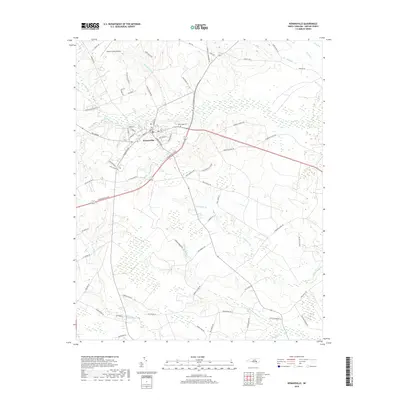
2019 Map of Kenansville
USGS Topo · Published 2019About this map
Kenansville serves as the central hub of this North Carolina landscape, where the street grid is defined by names like N Main St and Seminary St. The town sits at a geographic crossroads, bordered by the intricate drainage systems of Buckskin Swamp to the north and Tea Swamp to the south. This environment is characterized by a high density of small waterways, including Grove Cr and Mill Br, which weave through the agricultural and woodland parcels of Duplin County. North of the town center, the Duplin County Airport represents modern infrastructure alongside older landmarks like the Routledge Cem. The map illustrates a transition toward more dispersed rural life further south, with creek-defined borders such as Elder Cr and Stocking Head Cr marking the low-lying terrain near the Maxwell Cr basin.
Find a feature on this map
71 named features on this map. Tap any name to fly to it.
Don’t see what you’re looking for? This feature index may not catch every label — zoom into the map to look around manually.
Map Details
Editions of this 2019 Kenansville Map
This is the sole edition of this map. No revisions or reprints were ever made.
Other maps of this area

1943 · Kenansville
USGS Topo · 1:62,500

1948 · Kenansville
USGS Topo · 1:62,500

1953 · Florence
USGS Topo · 1:250,000

1953 · Rocky Mount
USGS Topo · 1:250,000

1953 · Raleigh
USGS Topo · 1:250,000

1953 · Beaufort
USGS Topo · 1:250,000

1954 · Rocky Mount
USGS Topo · 1:250,000

1954 · Florence
USGS Topo · 1:250,000

1954 · Raleigh
USGS Topo · 1:250,000

1954 · Beaufort
USGS Topo · 1:250,000