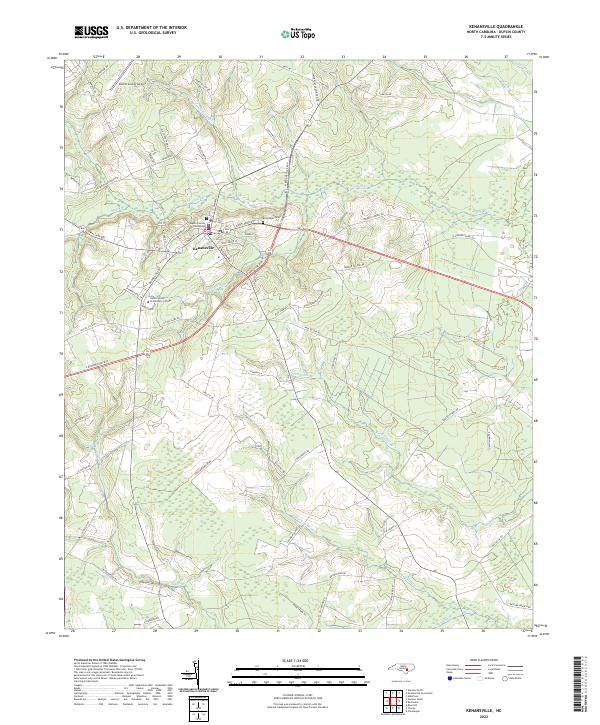
2022 Map of Kenansville
USGS Topo · Published 2022About this map
Kenansville serves as a central hub of government and education in North Carolina, anchored by the Duplin County Courthouse and James Sprunt Community College. The town's grid is defined by historic thoroughfares like S Main St and Seminary St, transitioning quickly into a landscape dominated by expansive wetlands and low-lying drainages. To the east, Grove Cr and Persimmon Br meander through the terrain, while the northern reaches are shaped by the Buckskin Swamp and Duplin County Airport.
Find a feature on this map
77 named features on this map. Tap any name to fly to it.
Don’t see what you’re looking for? This feature index may not catch every label — zoom into the map to look around manually.
Map Details
Editions of this 2022 Kenansville Map
This is the sole edition of this map. No revisions or reprints were ever made.
Other maps of this area

1943 · Kenansville
USGS Topo · 1:62,500

1948 · Kenansville
USGS Topo · 1:62,500

1953 · Florence
USGS Topo · 1:250,000

1953 · Rocky Mount
USGS Topo · 1:250,000

1953 · Raleigh
USGS Topo · 1:250,000

1953 · Beaufort
USGS Topo · 1:250,000

1954 · Rocky Mount
USGS Topo · 1:250,000

1954 · Florence
USGS Topo · 1:250,000

1954 · Raleigh
USGS Topo · 1:250,000

1954 · Beaufort
USGS Topo · 1:250,000