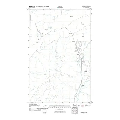
2011 Map of Kendall
USGS Topo · Published 2011About this map
Sumas Mountain and the surrounding valley floor define the topography of this northern Whatcom County region during the early twenty-first century. The landscape is a complex mix of agricultural land, timbered slopes, and residential pockets like Peaceful Valley and Limestone Junction. The drainage of Saar Creek and Coal Creek feeds into the larger waterway network, while the North Fork Nooksack River runs across the southern reaches near the Nooksack Salmon Hatchery. Genealogists and local historians will find the exact locations of Saint Peters Cemetery and Kendall Cemetery valuable for mapping family history. The presence of the Killum Quarry and numerous named peaks such as Lone Tree Hill and Haystack Hill illustrate the intersection of local industry and the varied terrain of the Columbia Valley.
Find a feature on this map
76 named features on this map. Tap any name to fly to it.
Don’t see what you’re looking for? This feature index may not catch every label — zoom into the map to look around manually.
Map Details
Editions of this 2011 Kendall Map
This is the sole edition of this map. No revisions or reprints were ever made.
Other maps of this area

1906 · Sumas
USGS Topo · 1:62,500

1908 · Sumas
USGS Topo · 1:62,500

1919 · Van Zandt
USGS Topo · 1:62,500

1951 · Van Zandt
USGS Topo · 1:62,500

1952 · Lawrence
USGS Topo · 1:24,000

1952 · Sumas
USGS Topo · 1:24,000

1954 · Lynden
USGS Topo · 1:62,500

1957 · Victoria
USGS Topo · 1:250,000

1972 · Maple Falls
USGS Topo · 1:24,000
1972 · Kendall
USGS Topo · 1:24,000