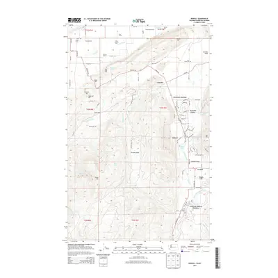
2014 Map of Kendall
USGS Topo · Published 2014About this map
Dairy operations and salmon conservation define this corner of Whatcom County near the British Columbia border. Agricultural landmarks such as Silvergate Dairy, Hillview Dairy, and Circle S Farms populate the valley floor, while the Nooksack Salmon Hatchery sits at the southern edge near the North Fork Nooksack River. The landscape is dominated by the massive rise of Sumas Mtn and Vedder Mtn, which frame the lowlands of Columbia Valley. The settlement patterns here include established communities like Kendall and Maple Falls, alongside modern developments such as Peaceful Valley. Genealogists will find the locations of Kendall Cem and Saint Peters Cem preserved alongside several family-named hills and creek systems including Reese Hill and Saar Cr.
Find a feature on this map
90 named features on this map. Tap any name to fly to it.
Don’t see what you’re looking for? This feature index may not catch every label — zoom into the map to look around manually.
Map Details
Editions of this 2014 Kendall Map
This is the sole edition of this map. No revisions or reprints were ever made.
Other maps of this area

1906 · Sumas
USGS Topo · 1:62,500

1908 · Sumas
USGS Topo · 1:62,500

1919 · Van Zandt
USGS Topo · 1:62,500

1951 · Van Zandt
USGS Topo · 1:62,500

1952 · Lawrence
USGS Topo · 1:24,000

1952 · Sumas
USGS Topo · 1:24,000

1954 · Lynden
USGS Topo · 1:62,500

1957 · Victoria
USGS Topo · 1:250,000

1972 · Maple Falls
USGS Topo · 1:24,000
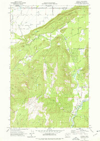
1972 · Kendall
USGS Topo · 1:24,000