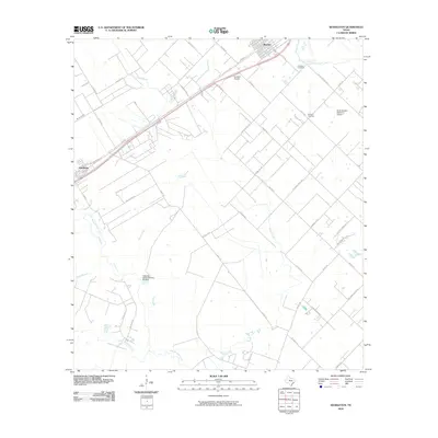
2010 Map of Kendleton
USGS Topo · Published 2010About this map
The town of Beasley and the community of Kendleton anchor this 2010 survey of southwestern Fort Bend County, where the landscape is defined by the winding course of the San Bernard River and its numerous tributaries. Agriculture and aviation share the terrain, evidenced by the presence of both the Aviasud Airpark and the Purdy-Nielsen Memorial Airpark situated among sprawling fields. The map provides essential data for genealogists, documenting local resting places such as Friedens Cemetery and Modena Cemetery. The drainage network is particularly dense here, with Snake Creek, Turkey Creek, and Cottonwood Creek carving through the coastal prairie. Transport corridors like State Loop 540 and Old US Hwy 59 parallel the rail lines, tracing the historical development patterns of these Texas settlements.
Find a feature on this map
50 named features on this map. Tap any name to fly to it.
Don’t see what you’re looking for? This feature index may not catch every label — zoom into the map to look around manually.
Map Details
Editions of this 2010 Kendleton Map
This is the sole edition of this map. No revisions or reprints were ever made.
Other maps of this area

1950 · Houston
USGS Topo · 1:250,000

1953 · Needville
USGS Topo · 1:24,000

1953 · Guy
USGS Topo · 1:24,000

1953 · Kendleton
USGS Topo · 1:24,000

1953 · Wharton
USGS Topo · 1:24,000

1953 · Hungerford
USGS Topo · 1:24,000

1953 · Boling
USGS Topo · 1:24,000

1953 · Seguin
USGS Topo · 1:250,000

1955 · Richmond
USGS Topo · 1:62,500

1956 · Wallis
USGS Topo · 1:62,500