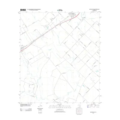
2013 Map of Kendleton
USGS Topo · Published 2013About this map
The San Bernard River forms the winding western boundary of this landscape, carving through a region defined by its creek systems and rural transport corridors. The settlement of Beasley occupies the northeast, characterized by its traditional grid of numbered streets and avenues, while Kendleton is situated to the southwest along the SW Fwy. This 2013 survey illustrates a landscape of productive land bisected by many drainage features, including Turkey Creek, Snake Creek, and Cottonwood Creek.
Find a feature on this map
92 named features on this map. Tap any name to fly to it.
Don’t see what you’re looking for? This feature index may not catch every label — zoom into the map to look around manually.
Map Details
Editions of this 2013 Kendleton Map
This is the sole edition of this map. No revisions or reprints were ever made.
Other maps of this area

1950 · Houston
USGS Topo · 1:250,000

1953 · Needville
USGS Topo · 1:24,000

1953 · Guy
USGS Topo · 1:24,000

1953 · Kendleton
USGS Topo · 1:24,000

1953 · Wharton
USGS Topo · 1:24,000

1953 · Hungerford
USGS Topo · 1:24,000

1953 · Boling
USGS Topo · 1:24,000

1953 · Seguin
USGS Topo · 1:250,000

1955 · Richmond
USGS Topo · 1:62,500

1956 · Wallis
USGS Topo · 1:62,500