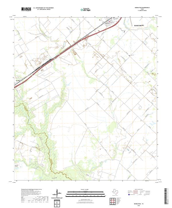
2022 Map of Kendleton
USGS Topo · Published 2022About this map
The San Bernard River forms a dense, wooded boundary along the western edge of this landscape, separating Fort Bend Co from Wharton Co. This rural corridor is defined by its watercourses and prairie lands, where Blossom Prairie and the low-lying Blossom Slough meet the agricultural fields. The settlement of Beasley serves as a local hub near the northeastern corner, characterized by its residential street grid including Avenue E and S 8th St.
Find a feature on this map
80 named features on this map. Tap any name to fly to it.
Don’t see what you’re looking for? This feature index may not catch every label — zoom into the map to look around manually.
Map Details
Editions of this 2022 Kendleton Map
This is the sole edition of this map. No revisions or reprints were ever made.
Other maps of this area

1950 · Houston
USGS Topo · 1:250,000

1953 · Needville
USGS Topo · 1:24,000

1953 · Guy
USGS Topo · 1:24,000

1953 · Kendleton
USGS Topo · 1:24,000

1953 · Wharton
USGS Topo · 1:24,000

1953 · Hungerford
USGS Topo · 1:24,000

1953 · Boling
USGS Topo · 1:24,000

1953 · Seguin
USGS Topo · 1:250,000

1955 · Richmond
USGS Topo · 1:62,500

1956 · Wallis
USGS Topo · 1:62,500