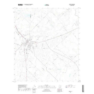
2019 Map of Kenedy
USGS Topo · Published 2019About this map
Kenedy serves as a central hub in Karnes County, where the street grid fans out across a landscape defined by seasonal creek beds and agrarian land use. This 2019 survey captures the town's layout, including local landmarks like the Karnes County Airport and three significant burial grounds: Butler Cem, Escondido Cem, and Kenedy Cem. The geography is shaped by drainage systems such as Escondido Cr and Hondo Cr, which feed toward the San Antonio River at the eastern edge.
Find a feature on this map
88 named features on this map. Tap any name to fly to it.
Don’t see what you’re looking for? This feature index may not catch every label — zoom into the map to look around manually.
Map Details
Editions of this 2019 Kenedy Map
This is the sole edition of this map. No revisions or reprints were ever made.
Other maps of this area

1936 · Pettus
USGS Topo · 1:62,500

1953 · Beeville
USGS Topo · 1:250,000

1956 · Beeville
USGS Topo · 1:250,000

1956 · Pettus
USGS Topo · 1:62,500

1956 · Karnes City
USGS Topo · 1:62,500

1960 · Beeville
USGS Topo · 1:250,000
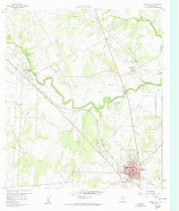
1960 · Karnes City
USGS Topo · 1:24,000

1960 · Helena
USGS Topo · 1:24,000
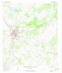
1961 · Kenedy
USGS Topo · 1:24,000
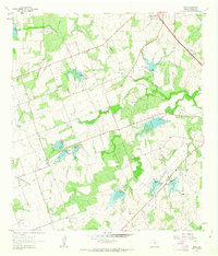
1961 · Lenz
USGS Topo · 1:24,000