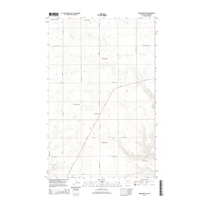
2014 Map of Kenilworth SW
USGS Topo · Published 2014About this map
Twelvemile Coulee and Spring Coulee cut through the high plains of Chouteau County, defining a landscape marked by deep drainage patterns and agricultural grid lines. This 2014 survey captures the rural infrastructure of North Central Montana, where long-established paths like the Mail Route Trl and Stranahan Rd navigate the contours of the breaks. The prominent diagonal of Us-87 serves as the primary artery through this section of the Big Sky country, intersecting with local access points such as Yokum Rd and Rudyard Rd.
Find a feature on this map
21 named features on this map. Tap any name to fly to it.
Don’t see what you’re looking for? This feature index may not catch every label — zoom into the map to look around manually.
Map Details
Editions of this 2014 Kenilworth SW Map
This is the sole edition of this map. No revisions or reprints were ever made.
Other maps of this area

1890 · Fort Benton
USGS Topo · 1:250,000

1892 · Fort Benton
USGS Topo · 1:250,000

1897 · Fort Benton
USGS Topo · 1:250,000

1906 · Lonesome
USGS Topo · 1:62,500

1919 · Big Sandy
USGS Topo · 1:125,000

1953 · Boggs Island
USGS Topo · 1:24,000

1953 · Loma East
USGS Topo · 1:24,000

1953 · Loma West
USGS Topo · 1:24,000

1953 · Stranahan
USGS Topo · 1:24,000

1954 · Great Falls
USGS Topo · 1:250,000