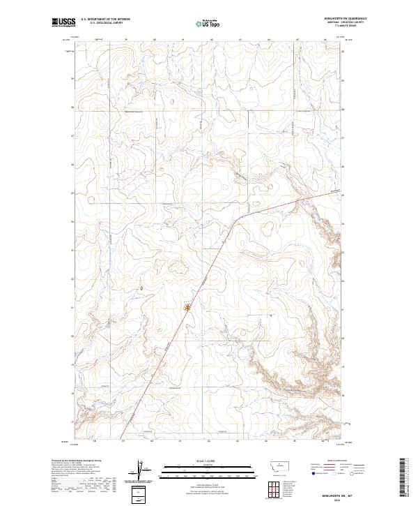
2024 Map of Kenilworth SW
USGS Topo · Published 2024About this map
Spring Coulee and Sixmile Coulee define the drainage patterns of this high plains landscape in northern Chouteau County. The terrain is characterized by these deeply etched coulees, including the prominent Twelve Mile Coulee in the northwest, which transition into flatter agricultural benchlands. The human imprint on the land follows a strict section-line grid, typical of the Montana plains, though several primary routes like Broadway cut diagonally across the survey area.
Find a feature on this map
16 named features on this map. Tap any name to fly to it.
Don’t see what you’re looking for? This feature index may not catch every label — zoom into the map to look around manually.
Map Details
Editions of this 2024 Kenilworth SW Map
This is the sole edition of this map. No revisions or reprints were ever made.
Other maps of this area

1890 · Fort Benton
USGS Topo · 1:250,000

1892 · Fort Benton
USGS Topo · 1:250,000

1897 · Fort Benton
USGS Topo · 1:250,000

1906 · Lonesome
USGS Topo · 1:62,500

1919 · Big Sandy
USGS Topo · 1:125,000

1953 · Boggs Island
USGS Topo · 1:24,000

1953 · Loma East
USGS Topo · 1:24,000

1953 · Loma West
USGS Topo · 1:24,000

1953 · Stranahan
USGS Topo · 1:24,000

1954 · Great Falls
USGS Topo · 1:250,000