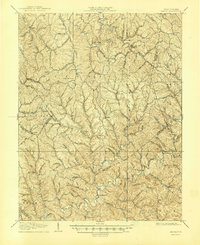
1907 Map of Kenna
USGS Topo · Published 1945About this map
Sissonville serves as a primary hub in this turn-of-the-century landscape, situated along the winding banks of the Pocatalico River. The 1906 survey reveals a highly dissected topography of ridges and hollows where the Jackson, Kanawha, and Putnam county lines intersect. Small rural communities like Kenna, Goldtown, and Advent are connected by a network of early roads that follow the drainage of Mill Creek and Grass Lick Creek. Significant local landmarks such as Emma Belle School and the White Chapel indicate established community nodes, while family-named high points like Garnes Knob and Mt Tell define the horizon. The map illustrates a transitional period when local industry was anchored by sites like Staats Mills, reflecting a time when mountain life was deeply tied to the specific geology of the Elk and Poca districts. Genealogists will find interest in the numerous named runs and branches, such as Leatherwood Run and Phillips Hollow, which often correspond to early family homesteads.
Find a feature on this map
60 named features on this map. Tap any name to fly to it.
Don’t see what you’re looking for? This feature index may not catch every label — zoom into the map to look around manually.
Map Details
Editions of this 1907 Kenna Map
3 editions found
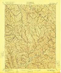
Other maps of this area

1897 · Kanawha Falls
USGS Topo · 1:125,000

1899 · Charleston
USGS Topo · 1:125,000

1900 · Kanawha Falls
USGS Topo · 1:125,000

1901 · Kanawha Falls
USGS Topo · 1:125,000

1906 · Kenna
USGS Topo · 1:62,500

1906 · Winfield
USGS Topo · 1:62,500

1906 · Walton
USGS Topo · 1:62,500

1907 · Kenna
USGS Topo · 1:62,500

1907 · Spencer
USGS Topo · 1:62,500

1907 · Walton
USGS Topo · 1:62,500