
1907 Map of Kenna
USGS Topo · Published 1907About this map
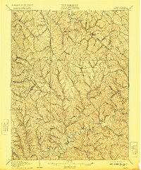
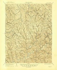
Sissonville sits along the winding course of the Pocatalico River, serving as a primary focal point in this 1906 survey of the borderlands between Jackson, Kanawha, and Putnam counties. The landscape is defined by an intricate network of narrow hollows and high ridges, where small agricultural settlements like Goldtown, Kenna, and Advent are connected by ridge-top and valley roads. The drainage pattern is exceptionally detailed, showing the convergence of Grasslick Creek and numerous runs that carved the local topography.
Find a feature on this map
61 named features on this map. Tap any name to fly to it.
Don’t see what you’re looking for? This feature index may not catch every label — zoom into the map to look around manually.
Map Details
Editions of this 1907 Kenna Map
3 editions found
Other maps of this area

1897 · Kanawha Falls
USGS Topo · 1:125,000

1899 · Charleston
USGS Topo · 1:125,000

1900 · Kanawha Falls
USGS Topo · 1:125,000

1901 · Kanawha Falls
USGS Topo · 1:125,000

1906 · Kenna
USGS Topo · 1:62,500

1906 · Winfield
USGS Topo · 1:62,500

1906 · Walton
USGS Topo · 1:62,500

1907 · Spencer
USGS Topo · 1:62,500

1907 · Walton
USGS Topo · 1:62,500

1907 · Ripley
USGS Topo · 1:62,500