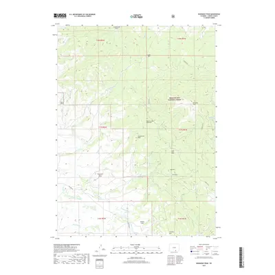
2017 Map of Kennaday Peak
USGS Topo · Published 2017About this map
Kennaday Peak anchors the high terrain of the Medicine Bow Mountains in this high-altitude section of the Medicine Bow National Forest. The landscape is a network of drainage basins and ridges, including the prominent Troublesome Ridge and Red Hill. The map documents a delicate balance of land use, where the high-mountain wilderness meets ranching and water management infrastructure like the Wiant Supply Ditch and Highland Ditch in the southern flats.
Find a feature on this map
45 named features on this map. Tap any name to fly to it.
Don’t see what you’re looking for? This feature index may not catch every label — zoom into the map to look around manually.
Map Details
Editions of this 2017 Kennaday Peak Map
This is the sole edition of this map. No revisions or reprints were ever made.
Other maps of this area

1893 · Fort Steele
USGS Topo · 1:125,000

1906 · Medicine Bow
USGS Topo · 1:125,000

1908 · Medicine Bow
USGS Topo · 1:125,000

1939 · Saratoga
USGS Topo · 1:125,000

1954 · Rawlins
USGS Topo · 1:250,000

1955 · Elk Mountain SW
USGS Topo · 1:24,000

1955 · Oberg Ranch
USGS Topo · 1:24,000

1955 · Coad Mountain
USGS Topo · 1:24,000

1958 · Rawlins
USGS Topo · 1:250,000

1961 · Ryan Park
USGS Topo · 1:24,000