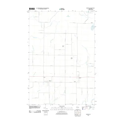
2010 Map of Kennan
USGS Topo · Published 2010About this map
The villages of Kennan and Catawba anchor this landscape in Price County, positioned along the transport corridor that bisects the region. The map shows a transition from structured town grids to an expansive rural network defined by named family roads and timbered tracts. Waterways dominate the terrain, with the North Fork Jump River cutting across the southern corner, while Skinner Creek, Needle Creek, and Web Creek drain the surrounding marshes and woodlands.
Find a feature on this map
52 named features on this map. Tap any name to fly to it.
Don’t see what you’re looking for? This feature index may not catch every label — zoom into the map to look around manually.
Map Details
Editions of this 2010 Kennan Map
This is the sole edition of this map. No revisions or reprints were ever made.
Other maps of this area

1941 · Kennan
USGS Topo · 1:48,000

1941 · Phillips
USGS Topo · 1:48,000

1943 · Philliips
USGS Topo · 1:48,000

1944 · Ogema
USGS Topo · 1:48,000

1945 · Kennan
USGS Topo · 1:48,000

1945 · Black River
USGS Topo · 1:48,000

1947 · Ogema
USGS Topo · 1:48,000

1949 · Ogema
USGS Topo · 1:48,000

1949 · Jump River Fire Tower
USGS Topo · 1:48,000

1953 · Rice Lake
USGS Topo · 1:250,000