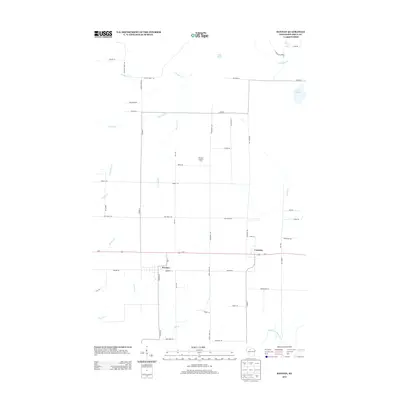
2013 Map of Kennan
USGS Topo · Published 2013About this map
Kennan and Catawba serve as the primary hubs in this part of Price County, situated along the east-west corridor of US-8. The landscape is defined by an intricate network of waterways, including the North Fork Jump River in the southeast and numerous smaller streams such as Skinner Cr, Old Mill Cr, and Web Cr. This area of northern Wisconsin is characterized by its glacial hydrology, evidenced by scattered water bodies like Lake Sixteen, Lake Seven, and Perch Lake.
Find a feature on this map
55 named features on this map. Tap any name to fly to it.
Don’t see what you’re looking for? This feature index may not catch every label — zoom into the map to look around manually.
Map Details
Editions of this 2013 Kennan Map
This is the sole edition of this map. No revisions or reprints were ever made.
Other maps of this area

1941 · Kennan
USGS Topo · 1:48,000

1941 · Phillips
USGS Topo · 1:48,000

1943 · Philliips
USGS Topo · 1:48,000

1944 · Ogema
USGS Topo · 1:48,000

1945 · Kennan
USGS Topo · 1:48,000

1945 · Black River
USGS Topo · 1:48,000

1947 · Ogema
USGS Topo · 1:48,000

1949 · Ogema
USGS Topo · 1:48,000

1949 · Jump River Fire Tower
USGS Topo · 1:48,000

1953 · Rice Lake
USGS Topo · 1:250,000