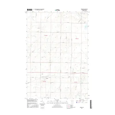
2015 Map of Kennan
USGS Topo · Published 2015About this map
Kennan and Catawba sit as the primary hubs of this Northwoods landscape, where the township lines of T36N and T35N intersect. The geography is defined by a dense network of tributaries including Skinner Cr, Morgan Cr, and Green Cr, which eventually drain toward the North Fork Jump River in the south. This 2015 data illustrates a landscape of scattered lakes such as Lake Sixteen and Perch Lake, alongside evidence of historical land use indicated by Old Mill Cr. Genealogists will find local heritage well-preserved through the inclusion of the Kennan Cem, Catawba Cem, and Harmony Cem. The map provides a precise look at the road network extending from Gruber Ave and Midway Rd, showing how modern parcels and timbered lands are accessed via family-named routes like Kaesmer Rd and Tennesons Rd.
Find a feature on this map
57 named features on this map. Tap any name to fly to it.
Don’t see what you’re looking for? This feature index may not catch every label — zoom into the map to look around manually.
Map Details
Editions of this 2015 Kennan Map
This is the sole edition of this map. No revisions or reprints were ever made.
Other maps of this area

1941 · Kennan
USGS Topo · 1:48,000

1941 · Phillips
USGS Topo · 1:48,000

1943 · Philliips
USGS Topo · 1:48,000

1944 · Ogema
USGS Topo · 1:48,000

1945 · Kennan
USGS Topo · 1:48,000

1945 · Black River
USGS Topo · 1:48,000

1947 · Ogema
USGS Topo · 1:48,000

1949 · Ogema
USGS Topo · 1:48,000

1949 · Jump River Fire Tower
USGS Topo · 1:48,000

1953 · Rice Lake
USGS Topo · 1:250,000