Loading...
Loading map...2022 Map of Kennan
USGS Topo · Published 2022About this map
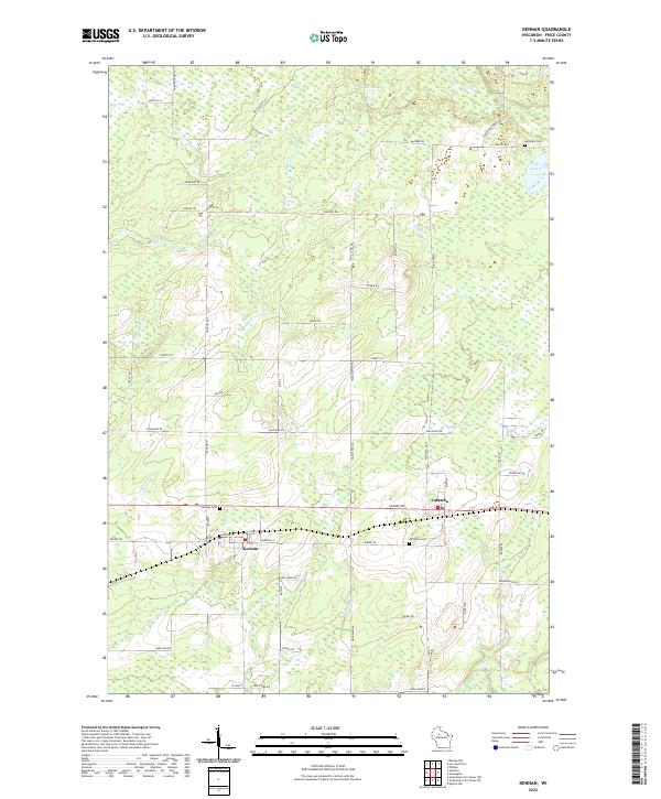
Kennan and Catawba anchor this landscape in Price County, positioned along the transportation corridor that defines the southern half of the quadrangle. The map reveals a transition from these organized settlements into a dense network of watercourses and wetlands to the north. Significant local history markers include the Kennan Cem, Catawba Cem, and the more remote Harmony Cem near Lake Sixteen.
Find a feature on this map
52 named features on this map. Tap any name to fly to it.
Don’t see what you’re looking for? This feature index may not catch every label — zoom into the map to look around manually.
Map Details
Date Portrayed2022
Date Published2022
PublisherU.S. Geological Survey
Map TypeTopographic
Scale1:24000
Physical Dimensions24 x 29 inches
Editions of this 2022 Kennan Map
This is the sole edition of this map. No revisions or reprints were ever made.
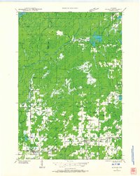
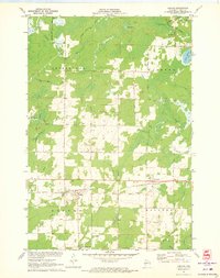
Historical Maps of Kennan Through Time
4 maps found

Featured Locations
Source Details
SourceU.S. Geological Survey
CopyrightPublic Domain