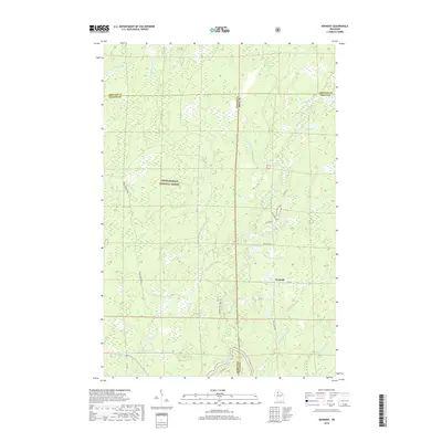
2018 Map of Kennedy
USGS Topo · Published 2018About this map
The Chequamegon National Forest dominates this landscape in northern Wisconsin, where the tri-county boundary of Ashland, Sawyer, and Price counties intersects. The small settlement of Kennedy is situated along Kemp Rd, serving as a point of human activity within a sprawling network of wetlands and creek systems. To the south, the Flambeau River cuts through the terrain, joined by tributaries such as Butternut Creek and Rock Cr.
Find a feature on this map
32 named features on this map. Tap any name to fly to it.
Don’t see what you’re looking for? This feature index may not catch every label — zoom into the map to look around manually.
Map Details
Editions of this 2018 Kennedy Map
This is the sole edition of this map. No revisions or reprints were ever made.
Other maps of this area

1941 · Kennedy
USGS Topo · 1:48,000

1942 · Glidden
USGS Topo · 1:48,000

1942 · Clam Lake
USGS Topo · 1:48,000

1944 · Draper
USGS Topo · 1:48,000

1945 · Kennedy
USGS Topo · 1:48,000

1945 · Clam Lake
USGS Topo · 1:48,000

1945 · Glidden
USGS Topo · 1:48,000

1947 · Draper
USGS Topo · 1:48,000

1953 · Ashland
USGS Topo · 1:250,000

1953 · Rice Lake
USGS Topo · 1:250,000