
2022 Map of Kennedy
USGS Topo · Published 2022About this map
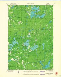
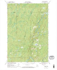
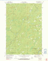
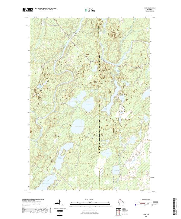
The Flambeau River flows through the southwestern corner of this landscape, marking a terrain defined by the dense woodlands of the Chequamegon National Forest. This modern survey centers on the small settlement of Kennedy, situated at the intersection of Kemp Rd and Co Rd E. The area is characterized by an extensive network of recreational paths, most notably the Tuscobia State Trl which traverses the southern half of the map, and the Dead Horse Run Trl to the west. A complex system of glacial hydrology is evident through numerous water bodies such as Round Lake, Lake Alice, and Oxbo Lake. The map illustrates the convergence of Ashland, Sawyer, and Price counties, showing how modern forest management and conservation efforts maintain the wilderness character of the region while supporting local infrastructure through routes like Pine Creek Rd.
Find a feature on this map
38 named features on this map. Tap any name to fly to it.
Don’t see what you’re looking for? This feature index may not catch every label — zoom into the map to look around manually.
Map Details
Editions of this 2022 Kennedy Map
This is the sole edition of this map. No revisions or reprints were ever made.
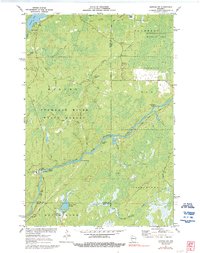
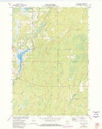
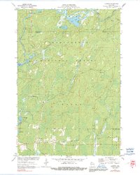
Historical Maps of Draper Through Time
46 maps found
1943 Namekagon Lake
Sawyer County, WI
1944 Draper
Sawyer County, WI
1945 Namekagon Lake
Sawyer County, WI
1947 Draper
Sawyer County, WI
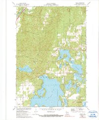
1970 Kennedy
Sawyer County, WI

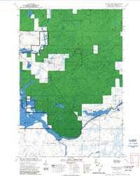
1970 Oxbo
Sawyer County, WI

1971 Babbs Island
Sawyer County, WI
1971 Blaisdell Lake
Sawyer County, WI
1971 Clam Lake SW
Sawyer County, WI

1971 Hauer
Sawyer County, WI
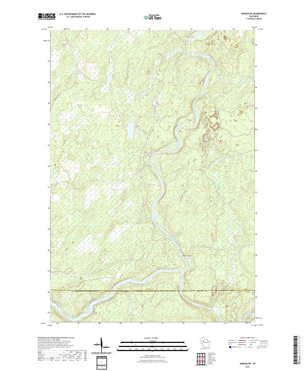
1971 Ingram NE
Sawyer County, WI
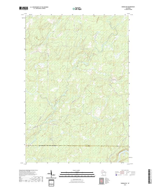
1971 Ingram NW
Sawyer County, WI
1971 Kennan NW
Sawyer County, WI
1971 Lake Winter
Sawyer County, WI
1971 Loretta
Sawyer County, WI
1971 Seeley
Sawyer County, WI

1971 Spider Lake
Sawyer County, WI
1972 Barker Lake
Sawyer County, WI

1972 Edgewater
Sawyer County, WI

1972 Hogsback Creek
Sawyer County, WI

1972 Weirgor
Sawyer County, WI

2005 Barker Lake
Sawyer County, WI

2005 Blaisdell Lake
Sawyer County, WI

2005 Clam Lake SW
Sawyer County, WI

2005 Kennedy
Sawyer County, WI

2005 Loretta
Sawyer County, WI

2005 Moose Lake
Sawyer County, WI

2005 Spider Lake
Sawyer County, WI
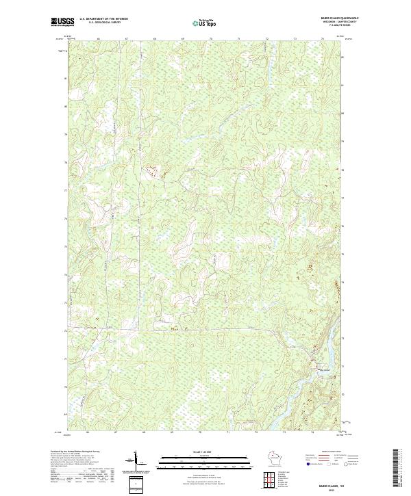
2022 Babbs Island
Sawyer County, WI

2022 Barker Lake
Sawyer County, WI

2022 Blaisdell Lake
Sawyer County, WI

2022 Clam Lake SW
Sawyer County, WI
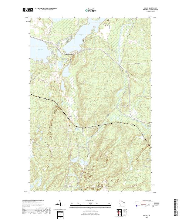
2022 Hauer
Sawyer County, WI

2022 Hogsback Creek
Sawyer County, WI
2022 Ingram NE
Sawyer County, WI
2022 Ingram NW
Sawyer County, WI

2022 Kennan NW
Sawyer County, WI
2022 Kennedy
Sawyer County, WI
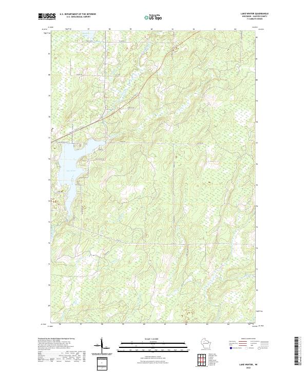
2022 Lake Winter
Sawyer County, WI

2022 Loretta
Sawyer County, WI
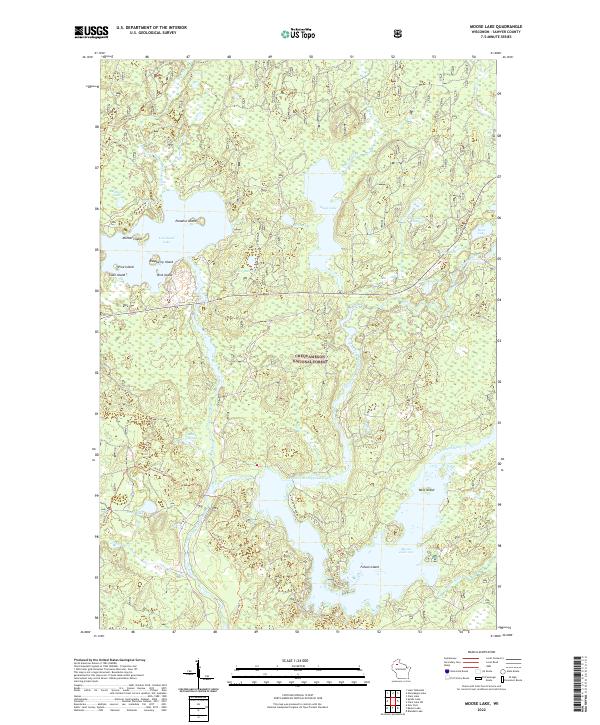
2022 Moose Lake
Sawyer County, WI
2022 Oxbo
Sawyer County, WI

2022 Seeley
Sawyer County, WI
2022 Spider Lake
Sawyer County, WI

2022 Weirgor
Sawyer County, WI

2023 Edgewater
Sawyer County, WI