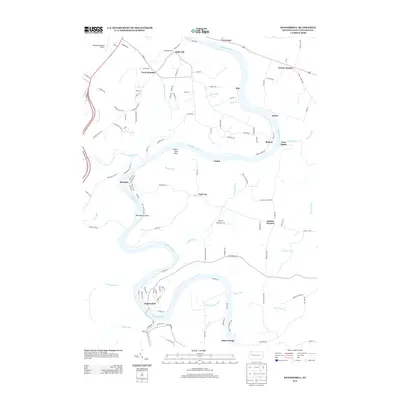
2013 Map of Kennerdell
USGS Topo · Published 2013About this map
The Allegheny River snakes through the heart of Venango County in this study of the area as it appeared in the early 21st century. The map centers on the village of Kennerdell and the deep bend of the river, where the landscape transitions from the developed grounds of Venango Regional Airport in the northwest to the secluded riverbanks marked by Indian God Rock. Small communities such as Coal City, Brandon, and Saint George are connected by a network of rural roads that follow the high ridges and steep valleys of the river canyon. This geographic layout highlights the traditional reliance on the river for navigation and transport, even as modern infrastructure like Twin Churchs and Victory Heights serves the residents of the surrounding townships. Tributaries including Sandy Cr and Dennison Run carve additional relief into the plateau, shaping the settlement patterns of Bully Hill and Smiths Corners.
Find a feature on this map
127 named features on this map. Tap any name to fly to it.
Don’t see what you’re looking for? This feature index may not catch every label — zoom into the map to look around manually.
Map Details
Editions of this 2013 Kennerdell Map
This is the sole edition of this map. No revisions or reprints were ever made.
Other maps of this area

1907 · Foxburg
USGS Topo · 1:62,500

1908 · Foxburg
USGS Topo · 1:62,500

1909 · Franklin
USGS Topo · 1:62,500

1910 · Hilliards
USGS Topo · 1:62,500

1911 · Franklin
USGS Topo · 1:62,500

1912 · Hilliards
USGS Topo · 1:62,500

1922 · Oil City
USGS Topo · 1:48,000

1924 · Oil City
USGS Topo · 1:62,500

1943 · Oil City
USGS Topo · 1:62,500

1944 · Hilliards
USGS Topo · 1:62,500