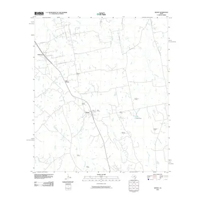
2010 Map of Kenney
USGS Topo · Published 2010About this map
Phillipsburg and Kenney anchor this rural landscape in Washington County, showing a pattern of settlement defined by family names and small community centers. The area is dense with legacy sites for genealogists, featuring numerous family-named burial grounds including Streb Cemetery, Pfeffer Cemetery, and Kachele Cemetery. These landmarks suggest a long history of local residency and generational land ownership in the region between New Wehdem and the surrounding creeks.
Find a feature on this map
36 named features on this map. Tap any name to fly to it.
Don’t see what you’re looking for? This feature index may not catch every label — zoom into the map to look around manually.
Map Details
Editions of this 2010 Kenney Map
This is the sole edition of this map. No revisions or reprints were ever made.
Other maps of this area

1930 · Brenham
USGS Topo · 1:62,500

1953 · Seguin
USGS Topo · 1:250,000

1954 · Austin
USGS Topo · 1:250,000

1956 · Bellville
USGS Topo · 1:62,500

1956 · Sealy
USGS Topo · 1:62,500

1956 · Hempstead
USGS Topo · 1:62,500

1956 · Brenham
USGS Topo · 1:62,500

1958 · Seguin
USGS Topo · 1:250,000
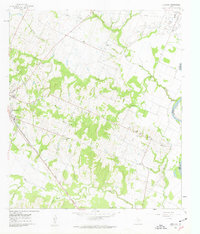
1961 · Burleigh
USGS Topo · 1:24,000
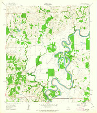
1961 · Daniels
USGS Topo · 1:24,000