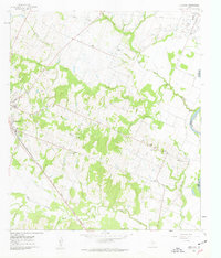
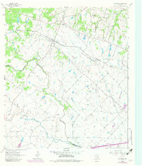
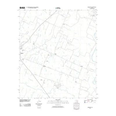
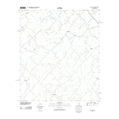
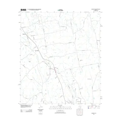
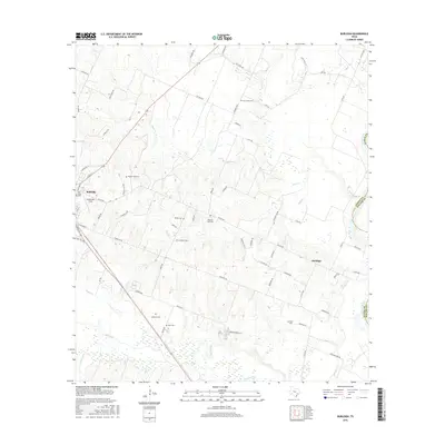
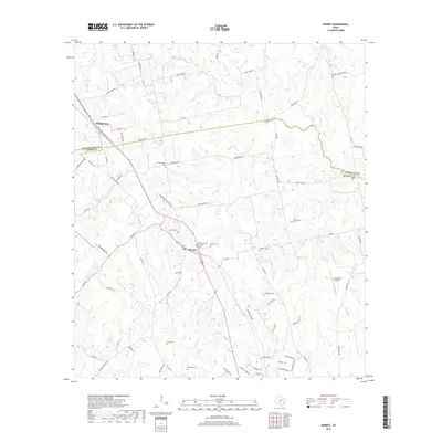
1961 Map of Burleigh
USGS Topo · Published 1962About this map
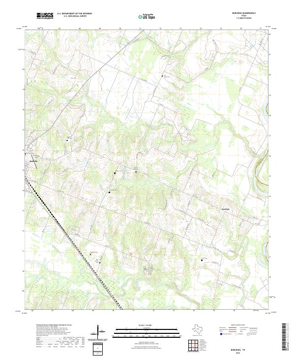
The Brazos River and Colorado River systems define the drainage of this Austin County landscape, where the Gulf Colorado and Santa Fe (AT&SF) railroad skirts the western edge near Bellville. The area shows a mature rural infrastructure centered around the small community of Burleigh, marked by a high density of family and community landmarks. Genealogists will find several burial grounds, including Coshatte Cem, Pilgrims Rest Cem, and Dethloff Cem, alongside local gathering places like the Coshatte Agricultural Society Hall.
Find a feature on this map
31 named features on this map. Tap any name to fly to it.
Don’t see what you’re looking for? This feature index may not catch every label — zoom into the map to look around manually.
Map Details
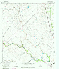
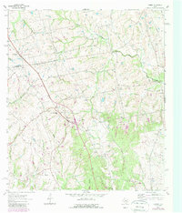
Editions of this 1961 Burleigh Map
2 editions found
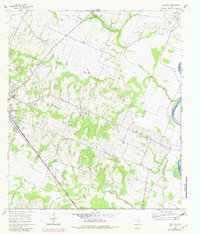
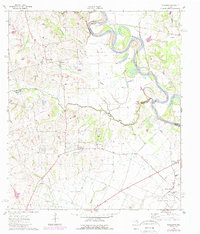
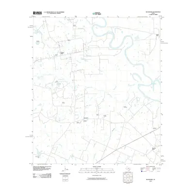
Historical Maps of Bellville Through Time
36 maps found
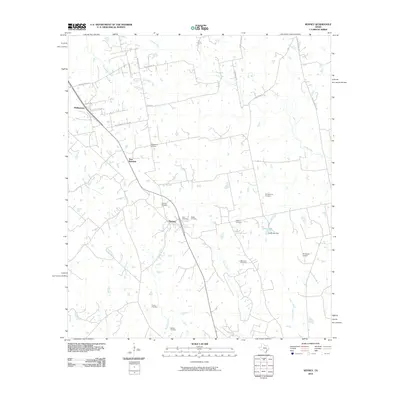
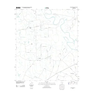
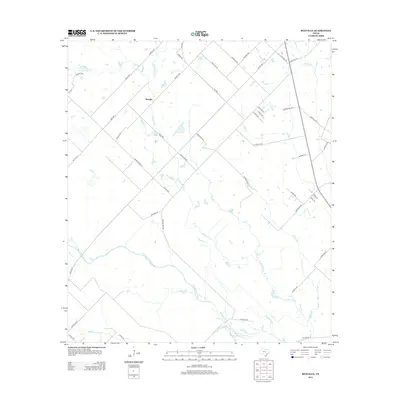
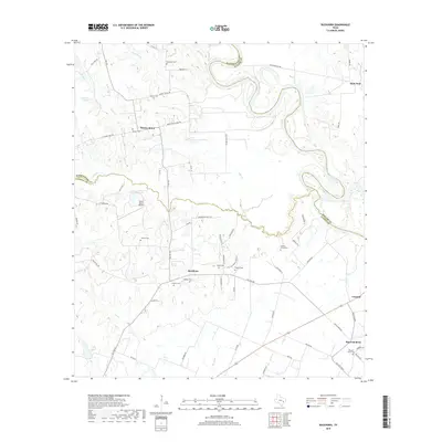
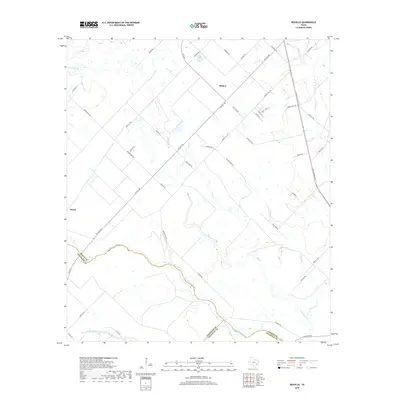
1960 Rexville
Austin County, TX
1961 Burleigh
Austin County, TX
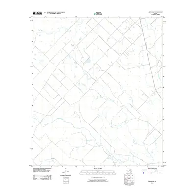
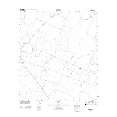
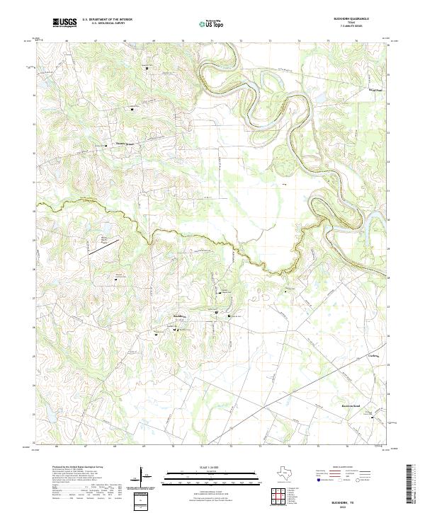
1962 Buckhorn
Austin County, TX
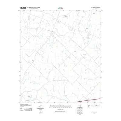
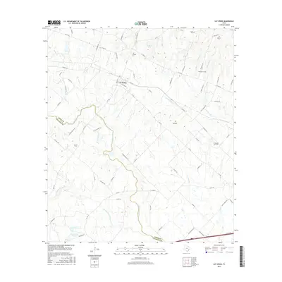
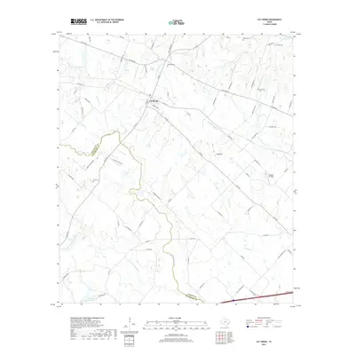
1963 Cat Spring
Austin County, TX
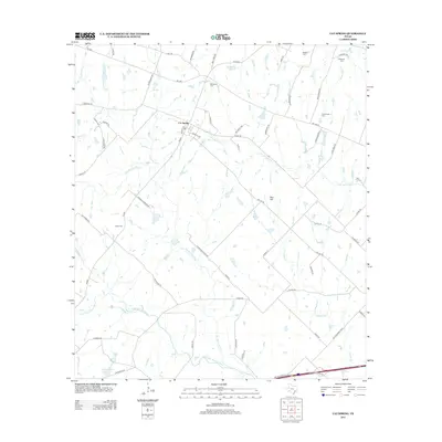
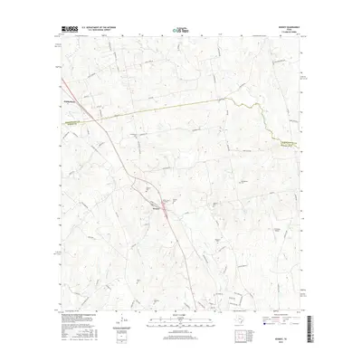
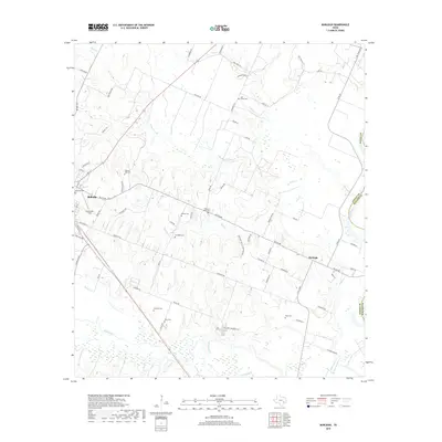
1963 Kenney
Austin County, TX
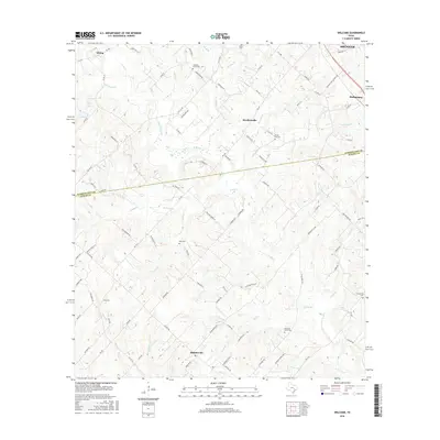
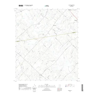
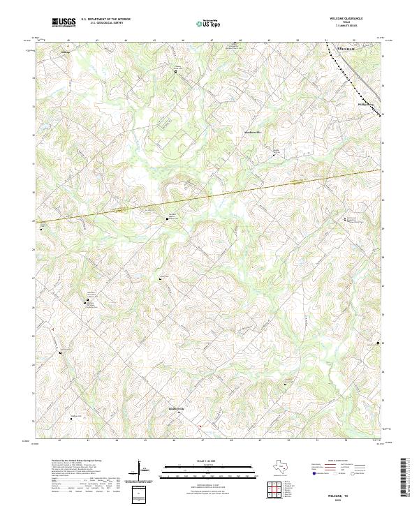
1963 Welcome
Austin County, TX
2010 Buckhorn
Austin County, TX
2010 Burleigh
Austin County, TX
2010 Cat Spring
Austin County, TX
2010 Kenney
Austin County, TX
2010 Rexville
Austin County, TX
2010 Welcome
Austin County, TX
2013 Buckhorn
Austin County, TX
2013 Burleigh
Austin County, TX
2013 Cat Spring
Austin County, TX
2013 Kenney
Austin County, TX
2013 Rexville
Austin County, TX
2013 Welcome
Austin County, TX
2016 Buckhorn
Austin County, TX
2016 Burleigh
Austin County, TX
2016 Cat Spring
Austin County, TX
2016 Kenney
Austin County, TX
2016 Rexville
Austin County, TX
2016 Welcome
Austin County, TX
2019 Buckhorn
Austin County, TX
2019 Burleigh
Austin County, TX
2019 Cat Spring
Austin County, TX
2019 Kenney
Austin County, TX
2019 Rexville
Austin County, TX
2019 Welcome
Austin County, TX
2022 Buckhorn
Austin County, TX
2022 Burleigh
Austin County, TX
2022 Cat Spring
Austin County, TX
2022 Kenney
Austin County, TX
2022 Rexville
Austin County, TX
2022 Welcome
Austin County, TX