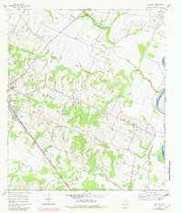
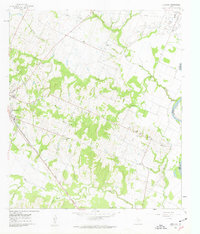
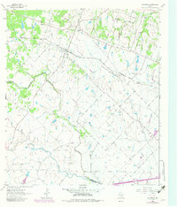
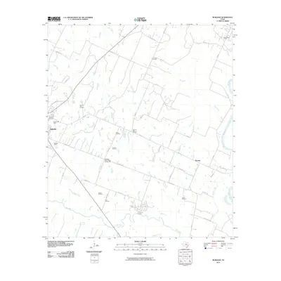
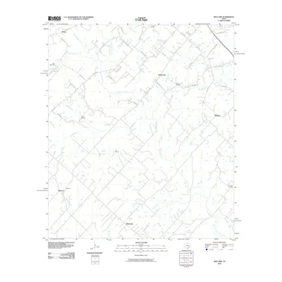
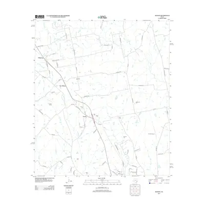
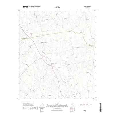
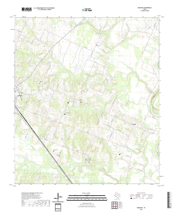
1961 Map of Burleigh
USGS Topo · Published 1982About this map
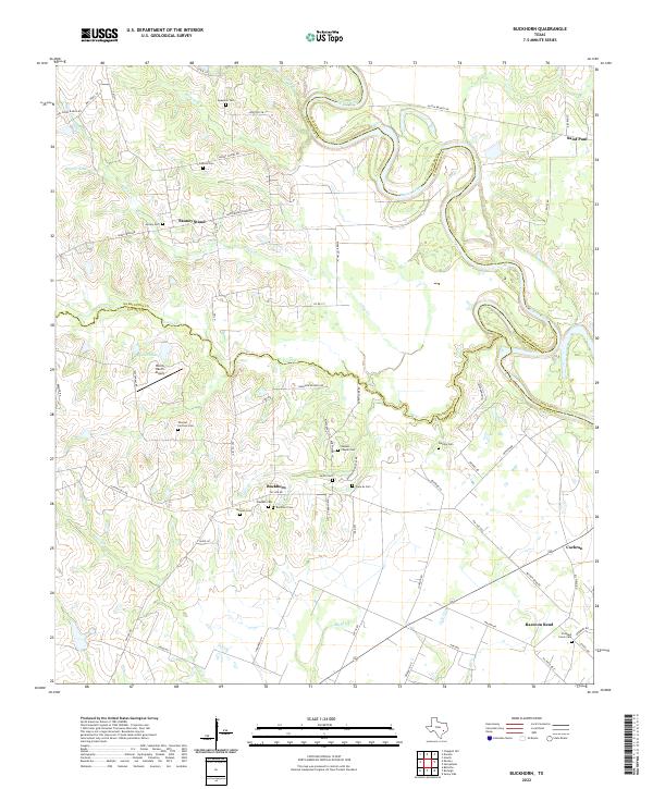
The Brazos River defines the eastern boundary of this Austin County landscape, where the agricultural traditions of the region are anchored by the Coehatte Agricultural Society Hall. While Bellville sits on the western edge, the interior is dotted with rural settlements and community hubs like Burleigh and Ives. The terrain is deeply etched by a network of drainage systems including Piney Creek, Mill Creek, and Ives Creek, which support a mix of woodland and open field.
Find a feature on this map
36 named features on this map. Tap any name to fly to it.
Don’t see what you’re looking for? This feature index may not catch every label — zoom into the map to look around manually.
Map Details
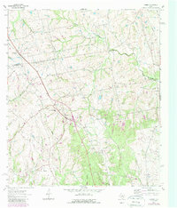
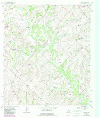
Editions of this 1961 Burleigh Map
2 editions found
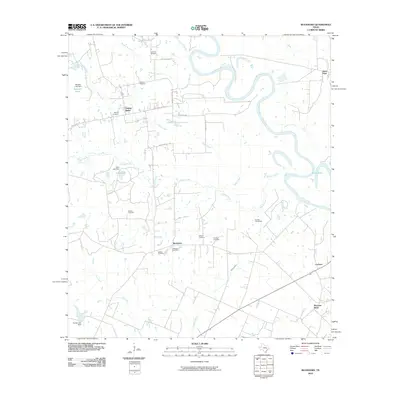
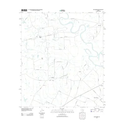
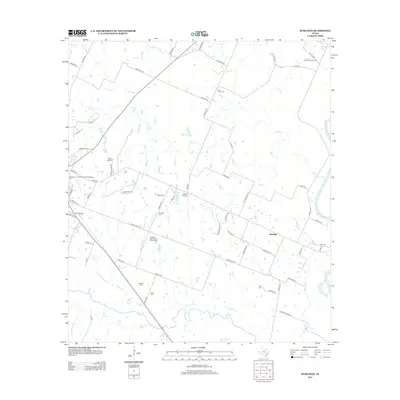
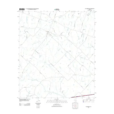
Historical Maps of Bellville Through Time
36 maps found
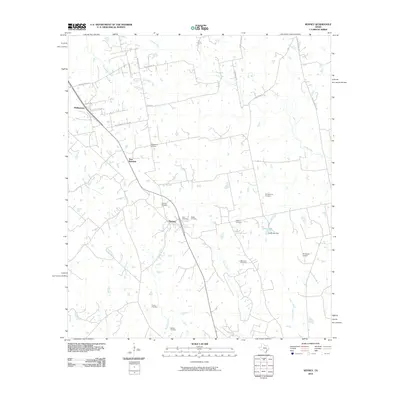
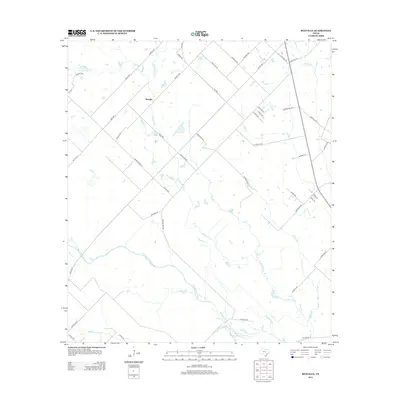
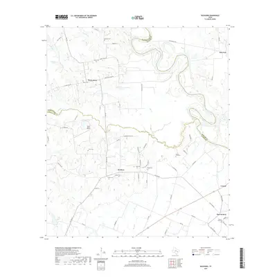
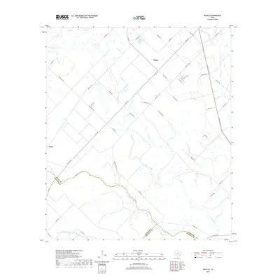
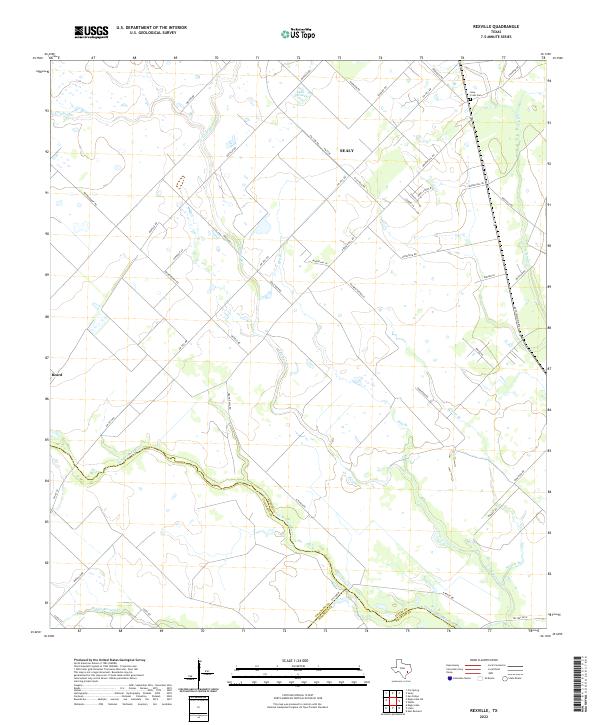
1960 Rexville
Austin County, TX
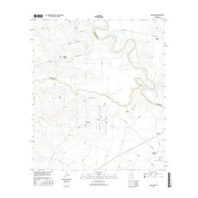
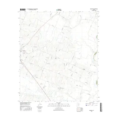
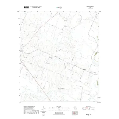
1961 Burleigh
Austin County, TX
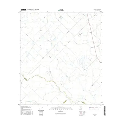
1962 Buckhorn
Austin County, TX
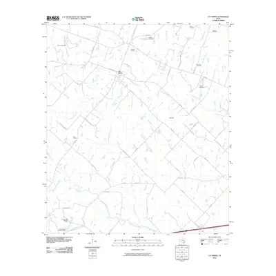
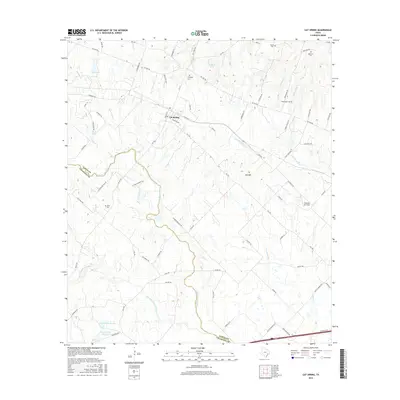
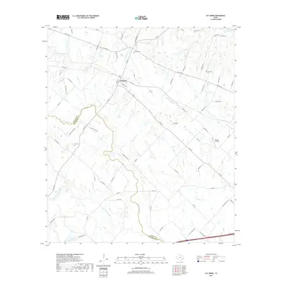
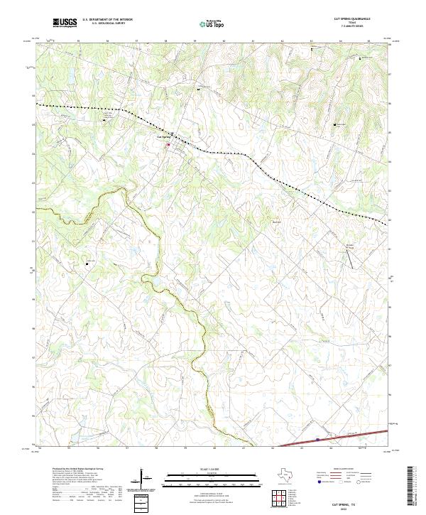
1963 Cat Spring
Austin County, TX
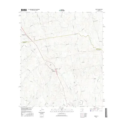
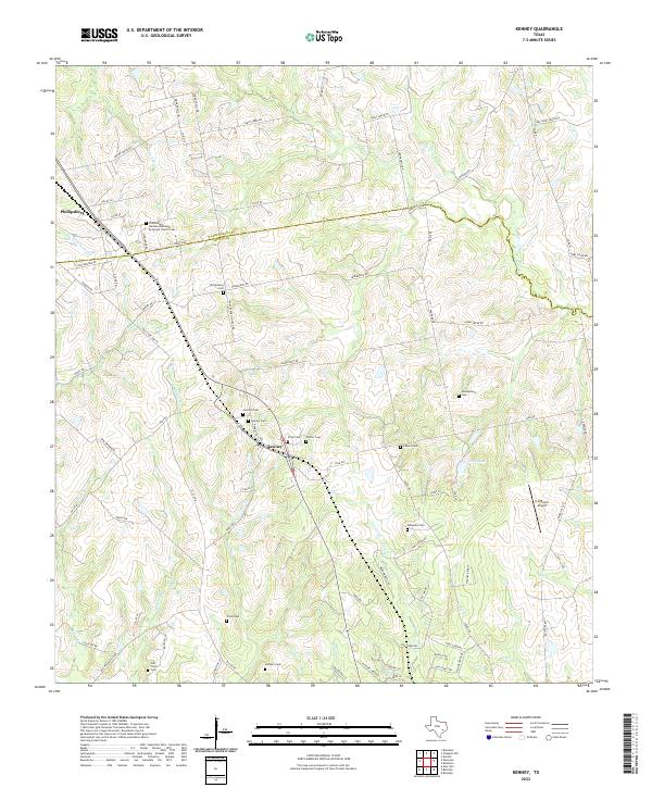
1963 Kenney
Austin County, TX
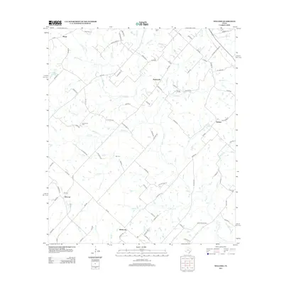
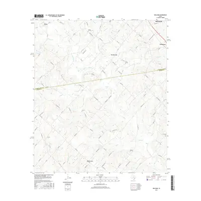
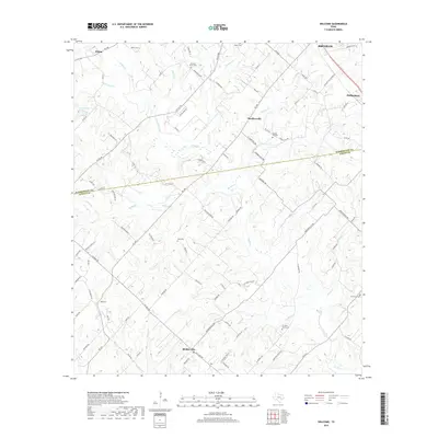
1963 Welcome
Austin County, TX
2010 Buckhorn
Austin County, TX
2010 Burleigh
Austin County, TX
2010 Cat Spring
Austin County, TX
2010 Kenney
Austin County, TX
2010 Rexville
Austin County, TX
2010 Welcome
Austin County, TX
2013 Buckhorn
Austin County, TX
2013 Burleigh
Austin County, TX
2013 Cat Spring
Austin County, TX
2013 Kenney
Austin County, TX
2013 Rexville
Austin County, TX
2013 Welcome
Austin County, TX
2016 Buckhorn
Austin County, TX
2016 Burleigh
Austin County, TX
2016 Cat Spring
Austin County, TX
2016 Kenney
Austin County, TX
2016 Rexville
Austin County, TX
2016 Welcome
Austin County, TX
2019 Buckhorn
Austin County, TX
2019 Burleigh
Austin County, TX
2019 Cat Spring
Austin County, TX
2019 Kenney
Austin County, TX
2019 Rexville
Austin County, TX
2019 Welcome
Austin County, TX
2022 Buckhorn
Austin County, TX
2022 Burleigh
Austin County, TX
2022 Cat Spring
Austin County, TX
2022 Kenney
Austin County, TX
2022 Rexville
Austin County, TX
2022 Welcome
Austin County, TX