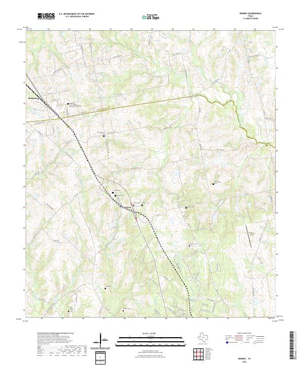
2022 Map of Kenney
USGS Topo · Published 2022About this map
Washington County and Austin County meet along a winding line in this rural landscape, where the settlements of Kenney and Phillipsburg serve as the primary anchors. This area is exceptionally dense with family and community burial grounds, offering a significant look at the local genealogy of the region. Notable sites include the Phillipsburg German Methodist Episcopal Church Cem and the Concord Cem, alongside numerous smaller plots like Streb Cem and Pfeffer Cem.
Find a feature on this map
86 named features on this map. Tap any name to fly to it.
Don’t see what you’re looking for? This feature index may not catch every label — zoom into the map to look around manually.
Map Details
Editions of this 2022 Kenney Map
This is the sole edition of this map. No revisions or reprints were ever made.
Other maps of this area

1930 · Brenham
USGS Topo · 1:62,500

1953 · Seguin
USGS Topo · 1:250,000

1954 · Austin
USGS Topo · 1:250,000

1956 · Bellville
USGS Topo · 1:62,500

1956 · Sealy
USGS Topo · 1:62,500

1956 · Hempstead
USGS Topo · 1:62,500

1956 · Brenham
USGS Topo · 1:62,500

1958 · Seguin
USGS Topo · 1:250,000
1961 · Burleigh
USGS Topo · 1:24,000
1961 · Daniels
USGS Topo · 1:24,000