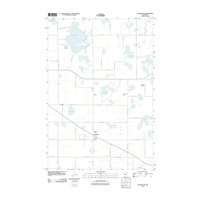
2010 Map of Kensington
USGS Topo · Published 2010About this map
Kensington anchors the southern portion of this central Minnesota landscape, situated amidst a dense network of glacial lakes and small elevations. The village is well-defined by its grid, featuring the Kensington Post Office and Kensington Cemetery just south of the main settlement. The surrounding Douglas County countryside is dotted with spiritual and commemorative sites, including Solem Cemetery and Wennesborg Cemetery, reflecting the area's deep-rooted heritage. Notable geographic features such as Runestone Hill and Lookout Mountain rise above the wetlands, while the northern reaches are dominated by Red Rock Lake and its residential developments like Red Rock Shores Dr SW. This 2010 survey illustrates a balance between traditional agricultural plots, lakefront recreation at Red Rock Golf Course, and the preservation of natural water bodies like Lake Oscar and Eng Lake.
Find a feature on this map
47 named features on this map. Tap any name to fly to it.
Don’t see what you’re looking for? This feature index may not catch every label — zoom into the map to look around manually.
Map Details
Editions of this 2010 Kensington Map
This is the sole edition of this map. No revisions or reprints were ever made.
Other maps of this area

1911 · Barrett
USGS Topo · 1:62,500

1912 · Morris
USGS Topo · 1:62,500

1953 · Saint Cloud
USGS Topo · 1:250,000

1957 · Saint Cloud
USGS Topo · 1:250,000

1958 · Saint Cloud
USGS Topo · 1:250,000

1966 · Brandon
USGS Topo · 1:24,000

1966 · Farwell
USGS Topo · 1:24,000

1966 · Kensington
USGS Topo · 1:24,000

1966 · Quam Lake
USGS Topo · 1:24,000

1968 · Lowry
USGS Topo · 1:24,000