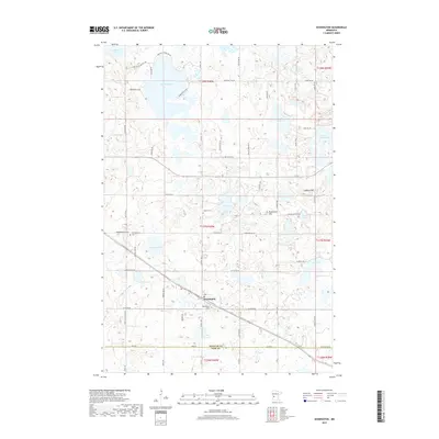
2019 Map of Kensington
USGS Topo · Published 2019About this map
Kensington anchors this glacial landscape along the border of Douglas and Pope counties, where the railroad line follows the natural grades north of Kensington Cem. The area is defined by a dense network of kettle lakes, including Red Rock Lake to the north and the cluster of Eng Lake, Solem Lake, and Roland Lake further south. Local history is well-preserved through several landmarks such as Runestone Hill and Lookout Mtn, which offer elevated perspectives over the water-dotted terrain. Genealogists can locate several burial sites within this small area, specifically Solem Cem near the lake of the same name and Wennersborg Cem to the west. The map detail reflects a persistent agricultural and rural layout, with many secondary roads like Beacon Rd SW and Dairy Dr SW providing access to the shorelines and farmsteads that have shaped this community for generations.
Find a feature on this map
65 named features on this map. Tap any name to fly to it.
Don’t see what you’re looking for? This feature index may not catch every label — zoom into the map to look around manually.
Map Details
Editions of this 2019 Kensington Map
This is the sole edition of this map. No revisions or reprints were ever made.
Other maps of this area

1911 · Barrett
USGS Topo · 1:62,500

1912 · Morris
USGS Topo · 1:62,500

1953 · Saint Cloud
USGS Topo · 1:250,000

1957 · Saint Cloud
USGS Topo · 1:250,000

1958 · Saint Cloud
USGS Topo · 1:250,000

1966 · Brandon
USGS Topo · 1:24,000

1966 · Farwell
USGS Topo · 1:24,000

1966 · Kensington
USGS Topo · 1:24,000

1966 · Quam Lake
USGS Topo · 1:24,000

1968 · Lowry
USGS Topo · 1:24,000