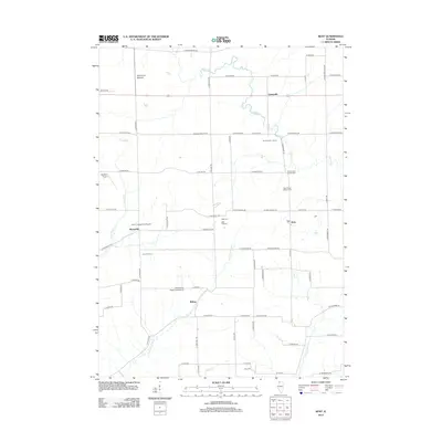
2012 Map of Kent
USGS Topo · Published 2012About this map
Kent and the surrounding agricultural townships of Jo Daviess County appear as a network of rural roads and family dairy operations. The landscape is defined by the winding course of the Plum River and the Muddy Plum River, which cut through the terrain near small settlements like Willow and Morseville. This 2012 survey illustrates the deep roots of the local community through its numerous burial grounds, including the Kent United Baptist Cem and Saint Pauls Lutheran Cem. Prominent local landmarks such as Simmons Mound stand out against a grid of established thoroughfares like E Morseville Rd and E Blackhawk Rd. The area also serves as a hub for regional aviation, featuring multiple landing strips including the Stockton Airport and John L Coppernoll Airport, reflecting the intersection of traditional farming and modern infrastructure.
Find a feature on this map
74 named features on this map. Tap any name to fly to it.
Don’t see what you’re looking for? This feature index may not catch every label — zoom into the map to look around manually.
Map Details
Editions of this 2012 Kent Map
This is the sole edition of this map. No revisions or reprints were ever made.
Other maps of this area

1892 · Savanna
USGS Topo · 1:62,500

1911 · Elizabeth
USGS Topo · 1:62,500

1936 · Elizabeth
USGS Topo · 1:62,500

1937 · Lena
USGS Topo · 1:48,000

1942 · Mt Carroll
USGS Topo · 1:62,500

1942 · Lena
USGS Topo · 1:62,500

1943 · Lena
USGS Topo · 1:62,500

1944 · Mt Carroll
USGS Topo · 1:62,500

1952 · Savanna
USGS Topo · 1:62,500

1954 · Rockford
USGS Topo · 1:250,000