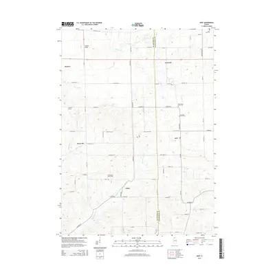
2015 Map of Kent
USGS Topo · Published 2015About this map
The settlement of Kent sits along the eastern border of Jo Daviess County, where the landscape transitions into Stephenson County. This agricultural area is defined by the branching waterways of the Plum River and the Muddy Plum River, which carve through the terrain near the small clusters of Morseville and Willow. The geography is anchored by notable high points such as Simmons Mound in the north and the rolling hills that surround Sunnyside.
Find a feature on this map
65 named features on this map. Tap any name to fly to it.
Don’t see what you’re looking for? This feature index may not catch every label — zoom into the map to look around manually.
Map Details
Editions of this 2015 Kent Map
This is the sole edition of this map. No revisions or reprints were ever made.
Other maps of this area

1892 · Savanna
USGS Topo · 1:62,500

1911 · Elizabeth
USGS Topo · 1:62,500

1936 · Elizabeth
USGS Topo · 1:62,500

1937 · Lena
USGS Topo · 1:48,000

1942 · Mt Carroll
USGS Topo · 1:62,500

1942 · Lena
USGS Topo · 1:62,500

1943 · Lena
USGS Topo · 1:62,500

1944 · Mt Carroll
USGS Topo · 1:62,500

1952 · Savanna
USGS Topo · 1:62,500

1954 · Rockford
USGS Topo · 1:250,000