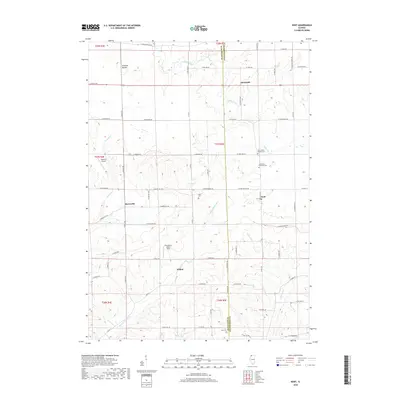
2018 Map of Kent
USGS Topo · Published 2018About this map
Kent and the surrounding rural townships of Jo Daviess and Stephenson counties are defined by a network of creeks and small settlements in this 21st-century record. The landscape is deeply etched by the Plum River and the Muddy Plum River, which draw together near the village of Willow. To the north, Yellow Creek meanders past Sunnyside toward the eastern boundary. The distribution of small cemeteries, including the Kent United Baptist Cem and Saint Pauls Lutheran Cem, reflects the long-standing community centers established by early settlers in this agricultural region.
Find a feature on this map
75 named features on this map. Tap any name to fly to it.
Don’t see what you’re looking for? This feature index may not catch every label — zoom into the map to look around manually.
Map Details
Editions of this 2018 Kent Map
This is the sole edition of this map. No revisions or reprints were ever made.
Other maps of this area

1892 · Savanna
USGS Topo · 1:62,500

1911 · Elizabeth
USGS Topo · 1:62,500

1936 · Elizabeth
USGS Topo · 1:62,500

1937 · Lena
USGS Topo · 1:48,000

1942 · Mt Carroll
USGS Topo · 1:62,500

1942 · Lena
USGS Topo · 1:62,500

1943 · Lena
USGS Topo · 1:62,500

1944 · Mt Carroll
USGS Topo · 1:62,500

1952 · Savanna
USGS Topo · 1:62,500

1954 · Rockford
USGS Topo · 1:250,000