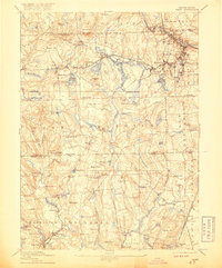
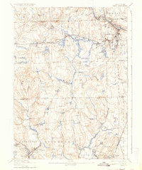
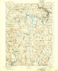
1894 Map of Kent
USGS Topo · Published 1917About this map
Industrial mill villages cluster along the river bends of Central Rhode Island in this late nineteenth-century survey. The Pawtuxet River and its various branches serve as the backbone for a dense network of textile and manufacturing centers, including Riverpoint, Arctic, and Phenix. These settlements are tightly linked by the New York and New England Railroad Providence Division, which follows the water's edge to move goods and people.
Find a feature on this map
118 named features on this map. Tap any name to fly to it.
Don’t see what you’re looking for? This feature index may not catch every label — zoom into the map to look around manually.
Map Details
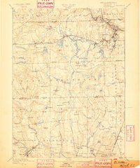
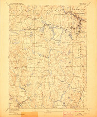
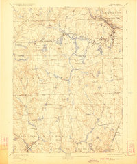
Editions of this 1894 Kent Map
7 editions found

Other maps of this area

1887 · Providence
USGS Topo · 1:62,500

1889 · Stonington
USGS Topo · 1:62,500

1889 · Charlestown
USGS Topo · 1:62,500

1889 · Providence
USGS Topo · 1:62,500

1889 · Newport
USGS Topo · 1:62,500

1889 · Putnam
USGS Topo · 1:62,500

1889 · Burrillville
USGS Topo · 1:62,500

1889 · Moosup
USGS Topo · 1:62,500

1890 · Narragansett Bay
USGS Topo · 1:62,500

1890 · Kent
USGS Topo · 1:62,500