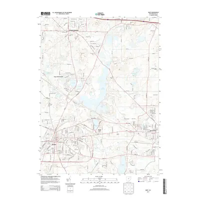
2013 Map of Kent
USGS Topo · Published 2013About this map
The Kent State Univ Kent Campus anchors the southern portion of this region, situated just east of the downtown Kent city center. The landscape is defined by the winding course of the Cuyahoga River and the extensive waters of Lake Rockwell, which dominates the central geography. To the north, the growing community of Streetsboro sits at the intersection of major routes like Oh-14 and Oh-303, while the eastern edge includes the outskirts of Ravenna.
Find a feature on this map
95 named features on this map. Tap any name to fly to it.
Don’t see what you’re looking for? This feature index may not catch every label — zoom into the map to look around manually.
Map Details
Editions of this 2013 Kent Map
This is the sole edition of this map. No revisions or reprints were ever made.
Other maps of this area

1905 · Garrettsville
USGS Topo · 1:62,500

1906 · Kent
USGS Topo · 1:62,500

1906 · Chagrin Falls
USGS Topo · 1:62,500

1906 · Ravenna
USGS Topo · 1:62,500

1907 · Garrettsville
USGS Topo · 1:62,500

1908 · Chagrin Falls
USGS Topo · 1:62,500

1908 · Ravenna
USGS Topo · 1:62,500

1950 · Cleveland
USGS Topo · 1:250,000

1953 · Aurora
USGS Topo · 1:24,000

1953 · Twinsburg
USGS Topo · 1:24,000