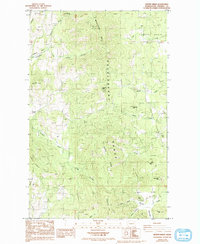
1985 Map of Kentry Ridge
USGS Topo · Published 1993About this map
The Huckleberry Range dominates this portion of Stevens County, creating a high-elevation landscape defined by steep ridges and deep drainage basins. Resource extraction is evident throughout the terrain, anchored by the presence of the Daisy Mine and Aquila Mine in the northern reaches, while numerous gravel pits and unnamed mines dot the southern slopes. These industrial markers coincide with a network of rugged 4WD tracks that thread through the canyons, connecting remote points like the settlement of Arzina and the Landing Strip located near the headwaters of Cheweka Creek.
Find a feature on this map
46 named features on this map. Tap any name to fly to it.
Don’t see what you’re looking for? This feature index may not catch every label — zoom into the map to look around manually.
Map Details
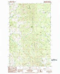
Editions of this 1985 Kentry Ridge Map
2 editions found
Other maps of this area

1927 · Chewelah
USGS Topo · 1:125,000

1929 · Colville
USGS Topo · 1:125,000

1930 · Chewelah
USGS Topo · 1:125,000

1933 · Colville
USGS Topo · 1:125,000

1936 · Marcus
USGS Topo · 1:96,000

1942 · Marcus
USGS Topo · 1:125,000

1948 · Kettle Falls
USGS Topo · 1:62,500

1950 · Inchelium
USGS Topo · 1:62,500

1951 · Kettle Falls
USGS Topo · 1:62,500

1952 · Colville
USGS Topo · 1:24,000