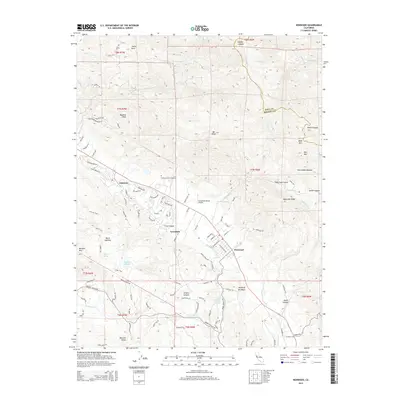
2015 Map of Kenwood
USGS Topo · Published 2015About this map
Kenwood and the northern reaches of the Valley of the Moon occupy this portion of the Mayacamas Mountains at the Sonoma and Napa County line. The settlement pattern follows the valley floor, with Oakmont and Lawndale established along the drainage of Sonoma Cr. This 2015 survey reveals the modern landscape of the North Bay, where residential developments like those on Meadowridge Dr meet protected natural areas.
Find a feature on this map
103 named features on this map. Tap any name to fly to it.
Don’t see what you’re looking for? This feature index may not catch every label — zoom into the map to look around manually.
Map Details
Editions of this 2015 Kenwood Map
This is the sole edition of this map. No revisions or reprints were ever made.
Other maps of this area

1902 · Napa
USGS Topo · 1:125,000

1916 · Santa Rosa
USGS Topo · 1:62,500

1927 · Calistoga
USGS Topo · 1:62,500

1942 · Sonoma
USGS Topo · 1:62,500

1942 · St. Helena
USGS Topo · 1:62,500

1943 · Calistoga
USGS Topo · 1:62,500

1944 · Santa Rosa
USGS Topo · 1:62,500

1945 · Calistoga
USGS Topo · 1:62,500

1945 · St. Helena
USGS Topo · 1:62,500

1947 · Santa Rosa
USGS Topo · 1:250,000