
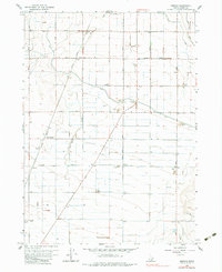
1964 Map of Kenyon
USGS Topo · Published 1965About this map
Agricultural development and water management define this portion of Cassia County during the mid-1960s. The landscape is organized by a rigid grid of rural routes such as 300 South Road and Pole Line Road, punctuated by small community centers like Beetville and Pella. The Union Pacific railroad cuts a diagonal line across the western half of the map, serving the transportation needs of the local sugar beet industry and other local agriculture.
Find a feature on this map
25 named features on this map. Tap any name to fly to it.
Don’t see what you’re looking for? This feature index may not catch every label — zoom into the map to look around manually.
Map Details
Editions of this 1964 Kenyon Map
2 editions found
Other maps of this area

1954 · Pocatello
USGS Topo · 1:250,000

1958 · Pocatello
USGS Topo · 1:250,000

1964 · Burley SW
USGS Topo · 1:24,000

1964 · View
USGS Topo · 1:24,000

1964 · Burley Butte
USGS Topo · 1:24,000

1964 · Rupert SW
USGS Topo · 1:24,000

1964 · Burley SE
USGS Topo · 1:24,000

1968 · Marion SE
USGS Topo · 1:24,000

1968 · Mount Harrison
USGS Topo · 1:24,000
1968 · Marion
USGS Topo · 1:24,000